Chalk Uplands
A chalk escarpment stretches across the south of the county providing the highest land in Cambridgeshire. The chalk is a type of limestone that dates from the Cretaceous period having been formed between about 90 and 99 million years ago, mostly from the carbonate remains of marine algae and various animals that sank to the bottom of a relatively warm, deep sea. These chalk hills extend south and north, linking our local ‘uplands’ with the Chilterns, the North and South Downs and, in the north, the Yorkshire Wolds.
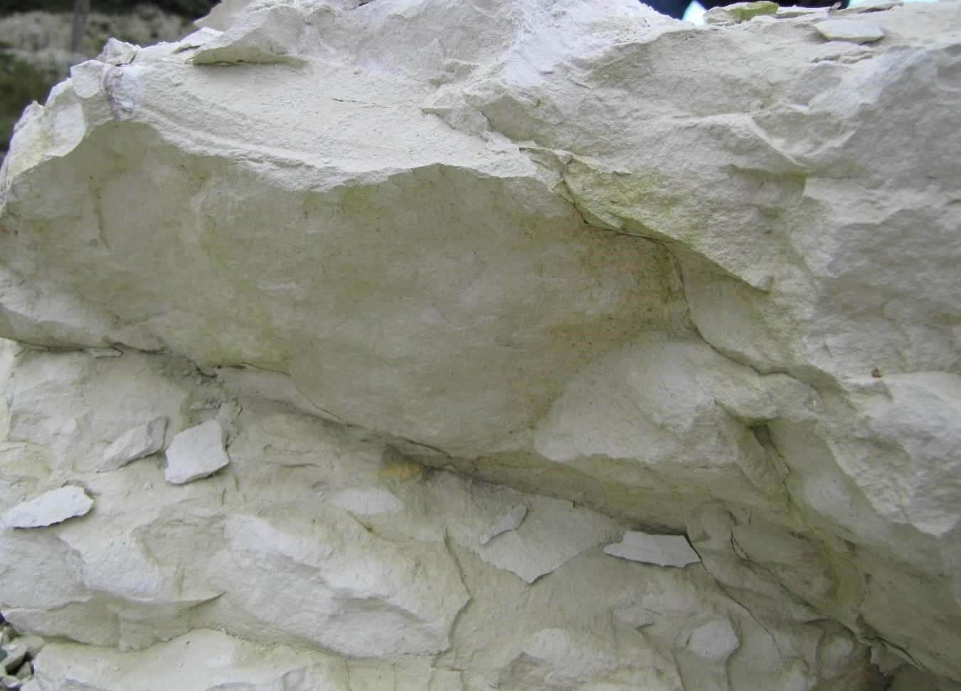
Within the Chalk there are numerous layers (called formations), each with its own characteristics and most made up of several beds of different material. Some beds within the chalk are relatively hard and the rock has been used for building stone, whilst others, called marls, are soft as they contain higher levels of clay minerals. The type and quantity of fossils in each layer is also distinctive and enables geologists to trace the formations across, not only the country, but also the London-Paris basin and even further afield.
Two of the harder bands of chalk that can be seen in Cambridgeshire are named after local places. The most famous is the Totternhoe Stone, named after Totternhoe in Bedfordshire, which was formed about 95-96 million years ago and has been used for many local buildings including some of the colleges in Cambridge. It was quarried at a number of locations in the south of the county including Cherry Hinton (see East Pit LGS Cherry Hinton) and Burwell (see Carter’s Pit LGS), hence its other name of Burwell Rock,The second is the Melbourn Rock, named after the village of Melbourn in Cambridgeshire, which is a little younger at roughly 93-94 million years old. Due to the fact that water can easily flow through fissures in these hard bands and that they lie above layers of far less permeable chalk marls, they are each associated with a spring line that feeds ecologically important chalk streams that flow into the Cam Valley (see Nine Wells).
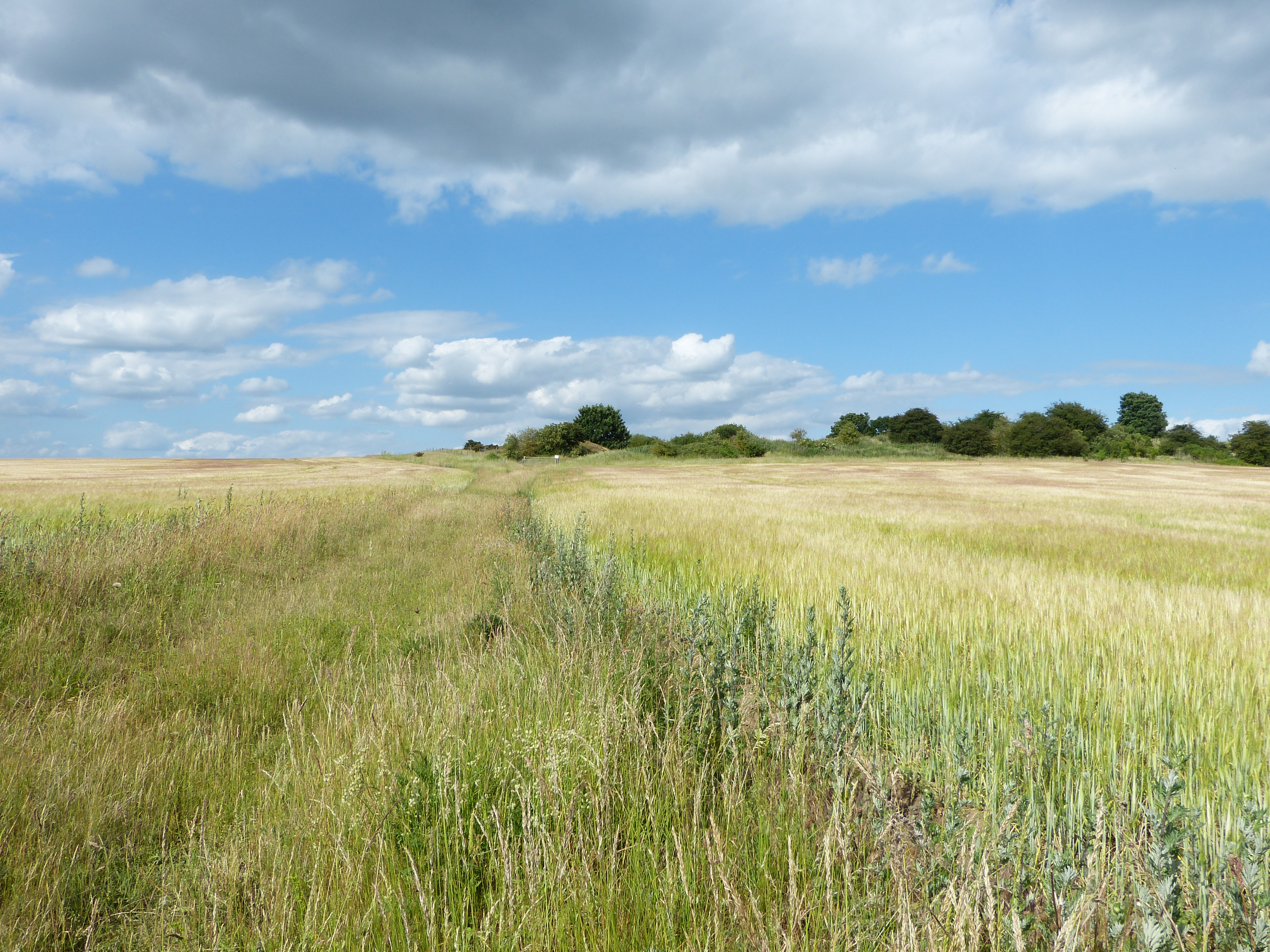
Several other sites in the Chalk hills have been designated as Local Geological Sites, each representing different features of the Chalk succession. These include Stapleford Parish Pit, Orwell Clunch Pit and Heydon Chalk Pit,
In the past, many fossils were found in the chalk quarries of Cambridgeshire and several of these can now be seen at the Sedgwick Museum of Earth Science in Cambridge. There are no longer good sites for collecting, however, as most of the quarries are now disused and infilled and most fossils have been removed.
For more info on the geology of the Chalk hills, see Hertfordshire Geological Society.
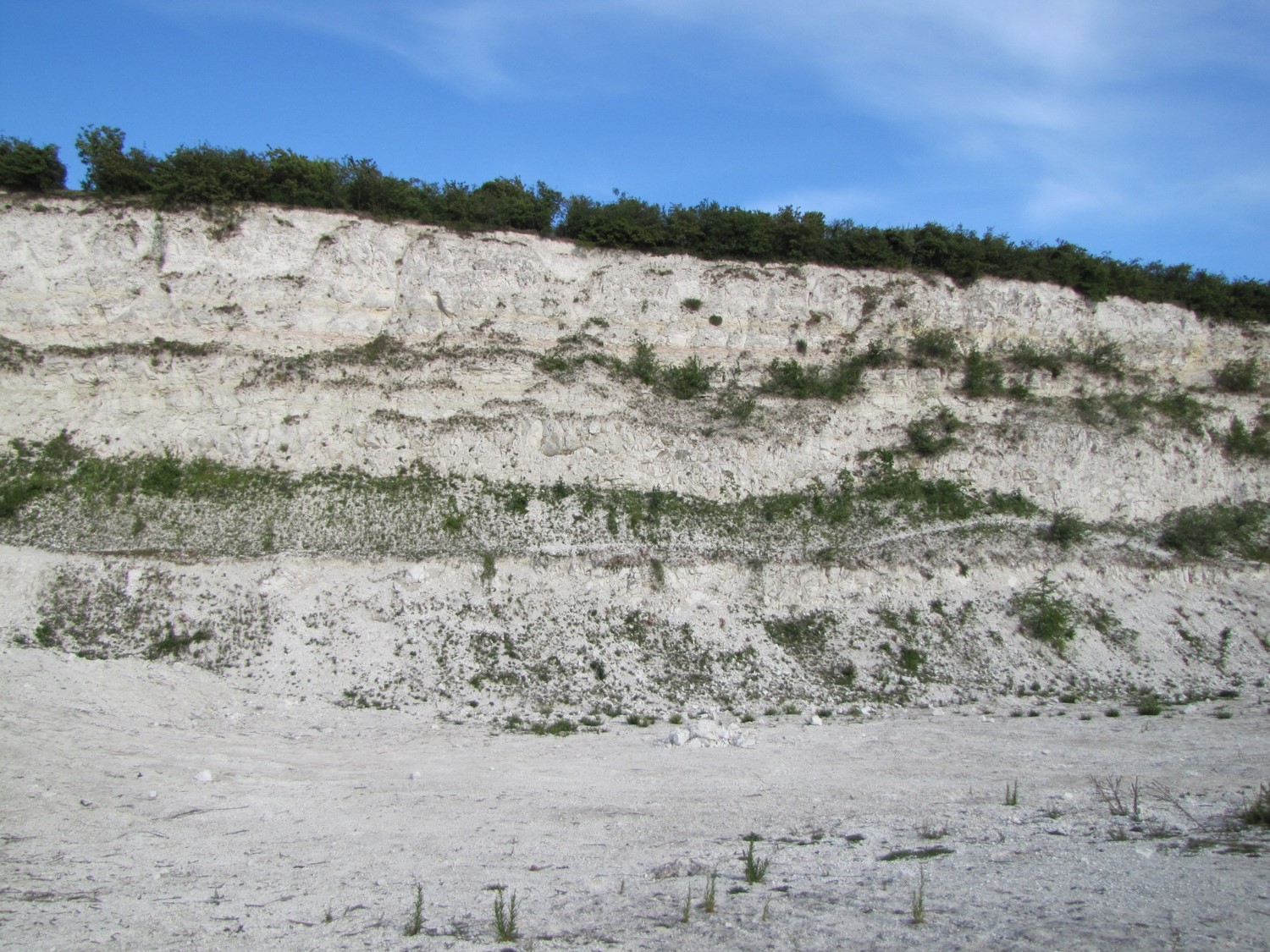
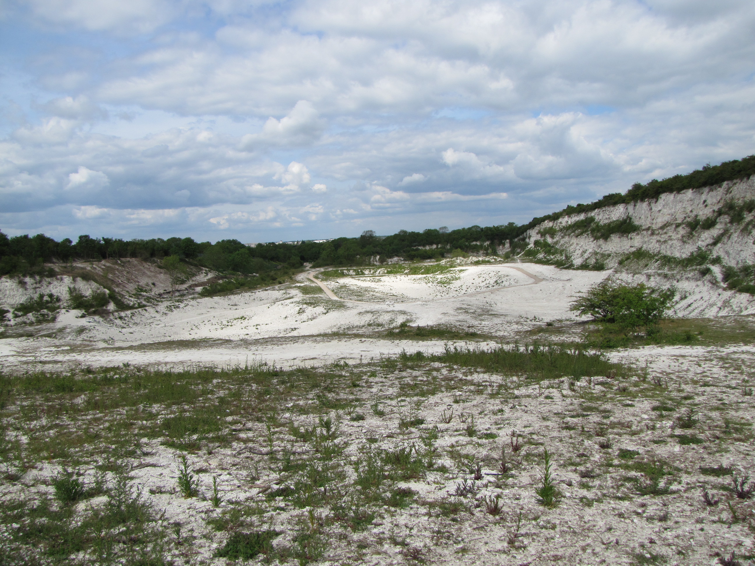
Steeple Morden Quarry, containing deposits of White Chalk including the Melbourn Rock near its base.
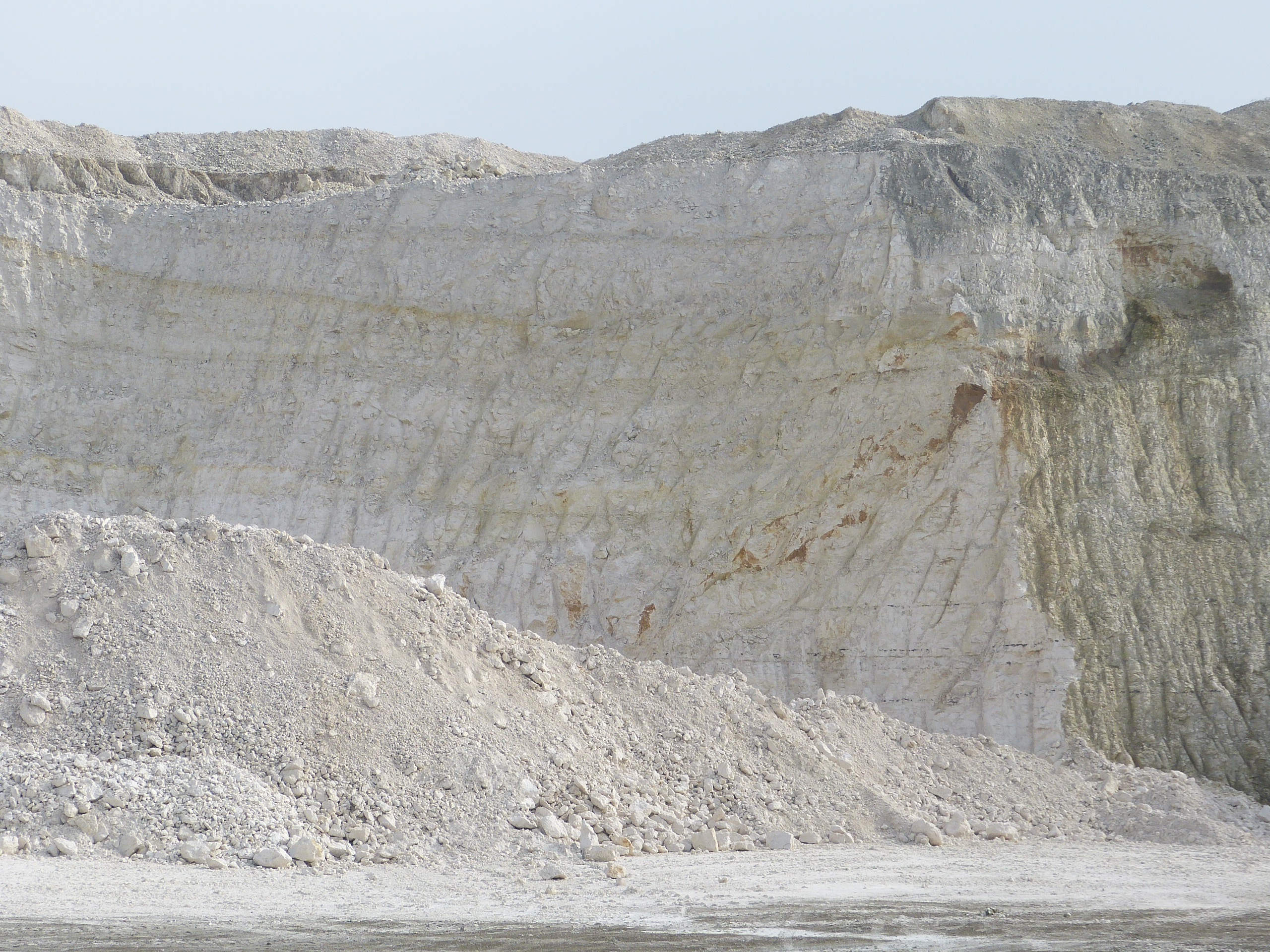
East Pit, Cherry Hinton, containing deposits of Grey Chalk at the bottom of the cliffs and White Chalk towards the top. The layer of the Plenus Marls lies part way up the cliff face under the harder band of the Melbourn Rock.
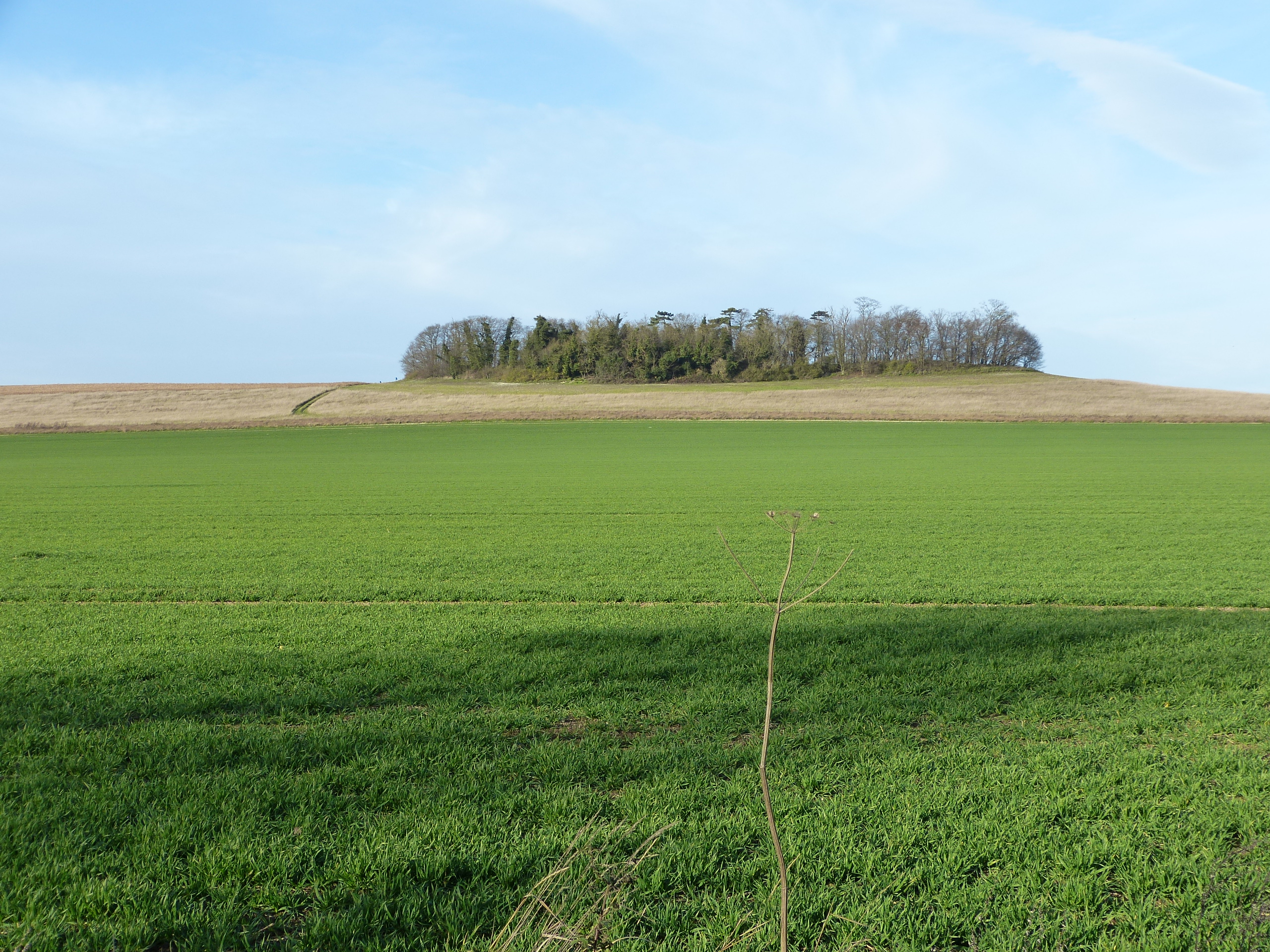
The Gog Magogs are chalk hills to the south of Cambridge which have a rich cultural heritage due to their significant prehistoric sites. They are also important ecologically for their chalk grassland flora and associated fauna.
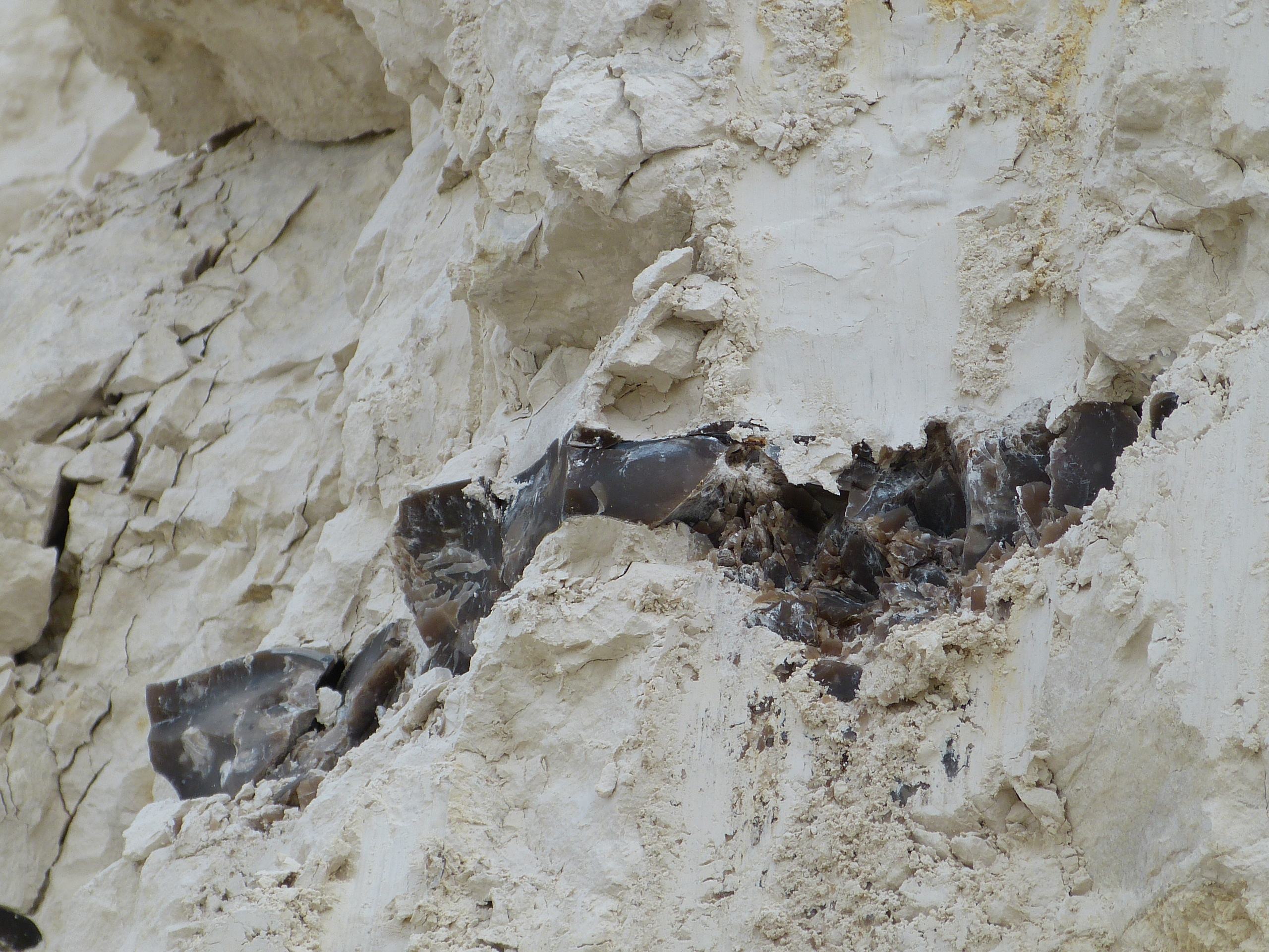
Flint bands in the White Chalk at Steeple Morden Quarry.