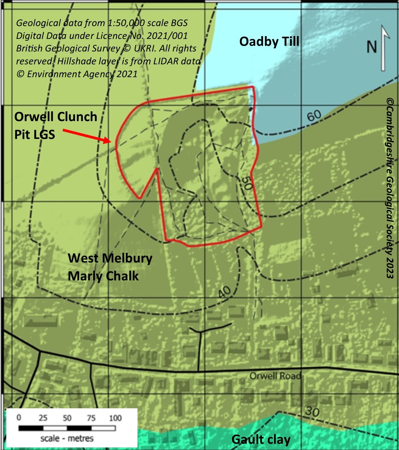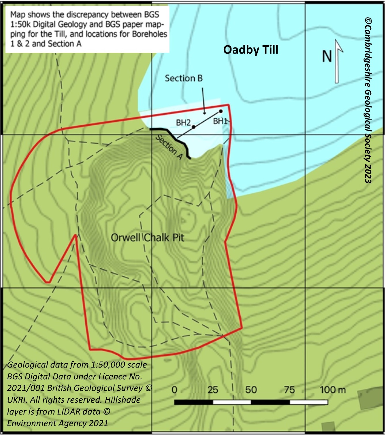

Orwell Clunch Pit LGS
This site is an ancient pit created by extensive quarrying of the Upper Cretaceous West Melbury Marly Chalk. It now forms a south facing hollow beneath Toot Hill. Much of the ground is chalk grassland with some exposures of Chalk debris and bedrock. This is a good site to see the effects of periglacial activity in the interaction of the chalk with the diamicton at the very top of the cliff. Sites showing clear evidence for periglacial activity over the millennia are generally quite rare, but here it is very evident in the involutions of chalk putty in brecciated Chalk and diamicton in the top 50-100 cm of the cliff. The diamicton dates from the Anglian glaciation and possibly includes material derived from Oadby Till.
There is no other place in the county where this can be easily seen since the only other recognised occurrence was at the Barrington Chalk Pit where it has now been removed by quarrying. The site is proposed as suitable for further educational field-studies examining periglacial geological processes. This Chalk pit shows the use made by early settlers here of the Chalk for building purposes – both of clunch blocks and lime-wash for rendering – as well as for liming the fields for agriculture.
The site is significant in its setting in the wider Cam Valley as it has spectacular views across the Rhee Valley towards the Chalk hills near Great Chishill near the county border. It is a well-used recreational area and known to local people and botanists for its chalk grassland flora. It is designated as an SSSI for its biodiversity value.


Whereas the BGS 1:50K digital geological mapping indicates that periglacial deposits are absent from the site, work by the CGS confirms earlier paper mapping (BGS, 1976) in that these deposits are present at the site, with the diamicton thinning markedly towards the cliff face.
