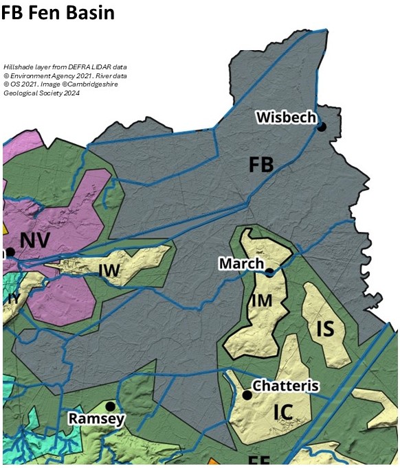
The Fen Basin
The Fen Basin adjoins the Fen Edge in the northeast of the county. It comprises Lacustrine Deposits (Whittlesey Mere), relatively thick Peat (Holme Fen), Marine Deposits and patches of River Terrace Deposits overlying Jurassic Oxford Clay and Ampthill Clay. The elevation spans from -3m OD to 4m OD. To the northeast of Ely The Fen Basin has extensive Peat, Marine Deposits, patches of Shell Marl, River Terrace Deposits and Oadby Till overlying Jurassic Ampthill Clay and Kimmeridge Clay, and Cretaceous Woburn Sands and Gault Clay. The elevation spans from -1m OD to 4m OD.
There are poorly drained soils on bedrock clay, Oadby Till, Lacustrine Deposits, Peat & Marine Deposits, and well-drained soils on the River Gravels. There are two geological SSSI, Adventurers’ Land and Shippea Hill, and one LGS, the Great Fen: Home Fen and Whittlesey Mere. Holme Fen is a NNR.
Although not known for mountainous scenery or valuable outcrops of rocks such as marble and granite, the landscapes of the Fens do, nevertheless, have a fascinating earth history that makes this area of the country unique and of great value for geological and geomorphological study. For example, the fenland basin is underlain mostly by Jurassic clays that are world famous for the fossils of huge marine reptiles – as seen in museums such as Peterborough and the Sedgwick in Cambridge.
Complex landscape changes during the ‘Ice Age’ have formed the fenland basin itself as well as the fen islands that are now so iconic, and these changes have also resulted in dynamic river systems that have left their traces in the many patches of river terrace gravels that have given its human population important refuges over thousands of years and, more recently, have provided material for a significant mineral industry.
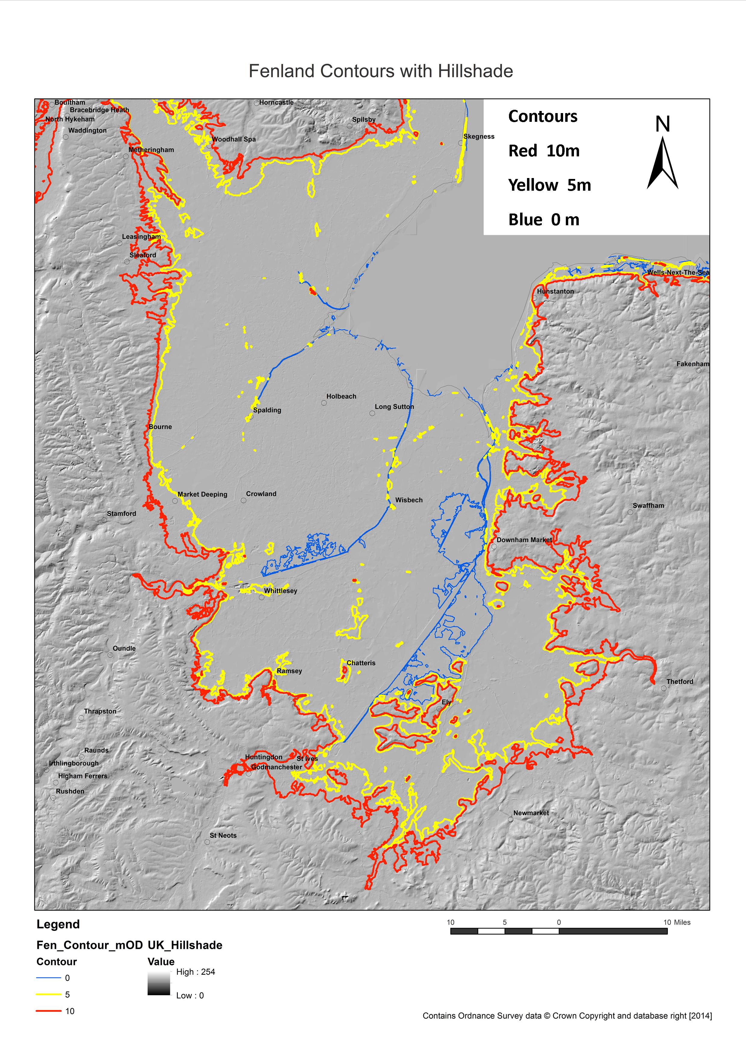
In the several thousand years since the ‘Ice Age’, the now familiar fenland landscape has evolved but it is a far more complex story than most people imagine. Not only do the different areas of the fenland have their own landscape history, there are often significant differences from one field to another – mostly the result of the ever-changing (until relatively recently) patterns of drainage– both natural and man-made. The chance to look down a few metres from the surface often shows a changing pattern of material that reflects the changing environment and climate. As well as the infamous peat, there are deposits of marine silts and clays – a legacy from the brackish conditions of saltmarshes – and material from ancient channels whose courses can sometimes still be seen on the surface in aerial photos, as well as marls from lake beds long disappeared, and sands and gravels and alluvial material from recent rivers. The small remnants of alkaline fen that still exist and the even smaller patches of the remains of acidic bog provide glimpses into ecologically rich and varied landscapes that gradually formed the extensive mosaic of peatland deposits that have not only given us so much information on changes in past vegetation and climates but also preserved valuable artefacts from our cultural history.
The importance of the record of past climates and environments in the Fens Basin, is shown by the designation of the area of the Great Fen: Holme Fen and Whittlesea Mere as a Local Geological Site.
More information on the landscape and geology of the Fens can be found on our Fen Edge Trail website.