The Fen Edge
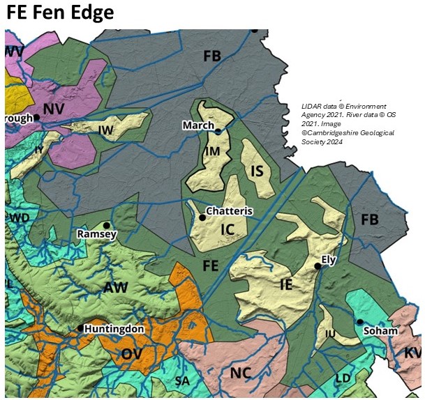
The Peterborough Fen Edge lies between the Welland and Nene Valleys and the Fen Basin. It comprises a transitional area where Alluvium, thin Peat, Marine Deposits, River Terrace Deposits and March Gravels overlie Jurassic Oxford Clay. It includes the ‘island’ of Thorney, which is formed by the March Gravels providing higher land than the surrounding peat and tidal clays. At Eye Green it reaches 8m OD. It extends around Whittlesey Island & to the south becomes the Woodwalton Fen Edge, where thin Peat and Marine Deposits overlie Oxford Clay. At Ramsey, north of Alconbury Weald, there is a patch of March Gravels and Head reaching above 6m OD and this forms the ‘island’ of Ramsey, well-known for its historic Abbey.
In this northern part of the Fen Edge, there are poorly drained soils on bedrock clay, Alluvium, Peat and Marine Deposits, and well-drained soils on the March Gravels and River Gravels. There is one geological SSSI, Eye Gravel Pit, and one LGS, Eye/Thorney Pits. Woodwalton Fen is a NNR.
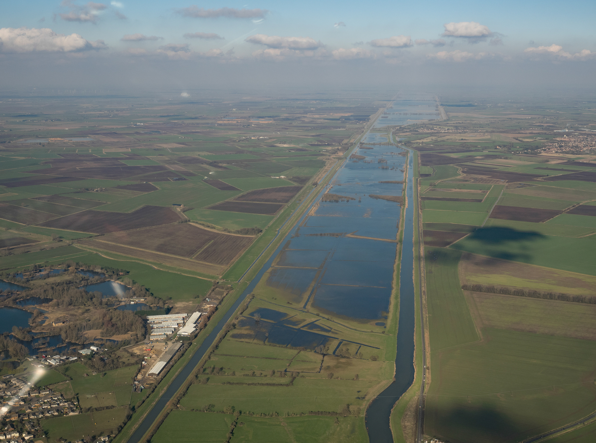
The March Fen Edge surrounds March, Stonea and Chatteris Fen Islands, and adjoins the Fen Basin on three sides. It comprises thin Peat, Marine Deposits and patches of March Gravels & River Terrace Deposits overlying Jurassic Ampthill Clay and Oxford Clay. The elevation spans from -2m OD to 3m OD. The Ouse Washes occupy part of the Ely Fen Edge to the south. The area adjoins the Isle of Ely, Lode Apron and the Fen Basin, and reaches up to 3m OD. It is characterised by thin Peat, Marine Deposits and patches of River Terrace Deposits and Oadby Till overlying Jurassic Ampthill Clay and Cretaceous Woburn Sands, Gault Clay and West Melbury Chalk. To the south it also adjoins the Kennett Valley and includes the Lacustrine Deposits of Soham Mere north of the Upware/Wicken Ridge.
In this southern part of the Fen edge, there are poorly drained soils on bedrock clay, Oadby Till, Lacustrine Deposits, Alluvium, Peat and Marine Deposits, and well-drained soils on the March Gravels and River Gravels. There are no geological SSSI & three LGS, Wicken Fen Sedge Fen, Wicken Fen Kiln and Pit, Reach Lode Bridge. Wicken Fen is also a NNR (and ecological SSSI).
The extensive fenlands of eastern England reach far to the north into Lincolnshire, and south throughout much of Cambridgeshire. As the land rises from the low lying fens to the surrounding ‘hills’, the character of the buildings, land use and natural history changes. The influence of the chalk hills to the south east, the claylands to the west, the breckland to the east and the limestone uplands to the north west, have all had their effect. At various times in the last few thousand years, the fenland has been flooded and, at the Fen Edge, the land changed from extensive wetland to dryer land where settlements could be built. The surrounding higher land now provides viewpoints that are windows into the past – looking down into one of the last areas in England where ‘wilderness’ existed and people have met many challenges to survive.
Compared to the extensive wetland basin, the Fen Edge has provided humans with a safer and easier place to live for thousands of years. It has, therefore, been the location for many cultural, and often strategic, sites and has a rich history, much of it linked directly to the local geology.


A journey across a landscape and time
See the Fen Edge Trail website for the full list of walks and to download the Walk Guides.


Our partnership with The Word Garden


