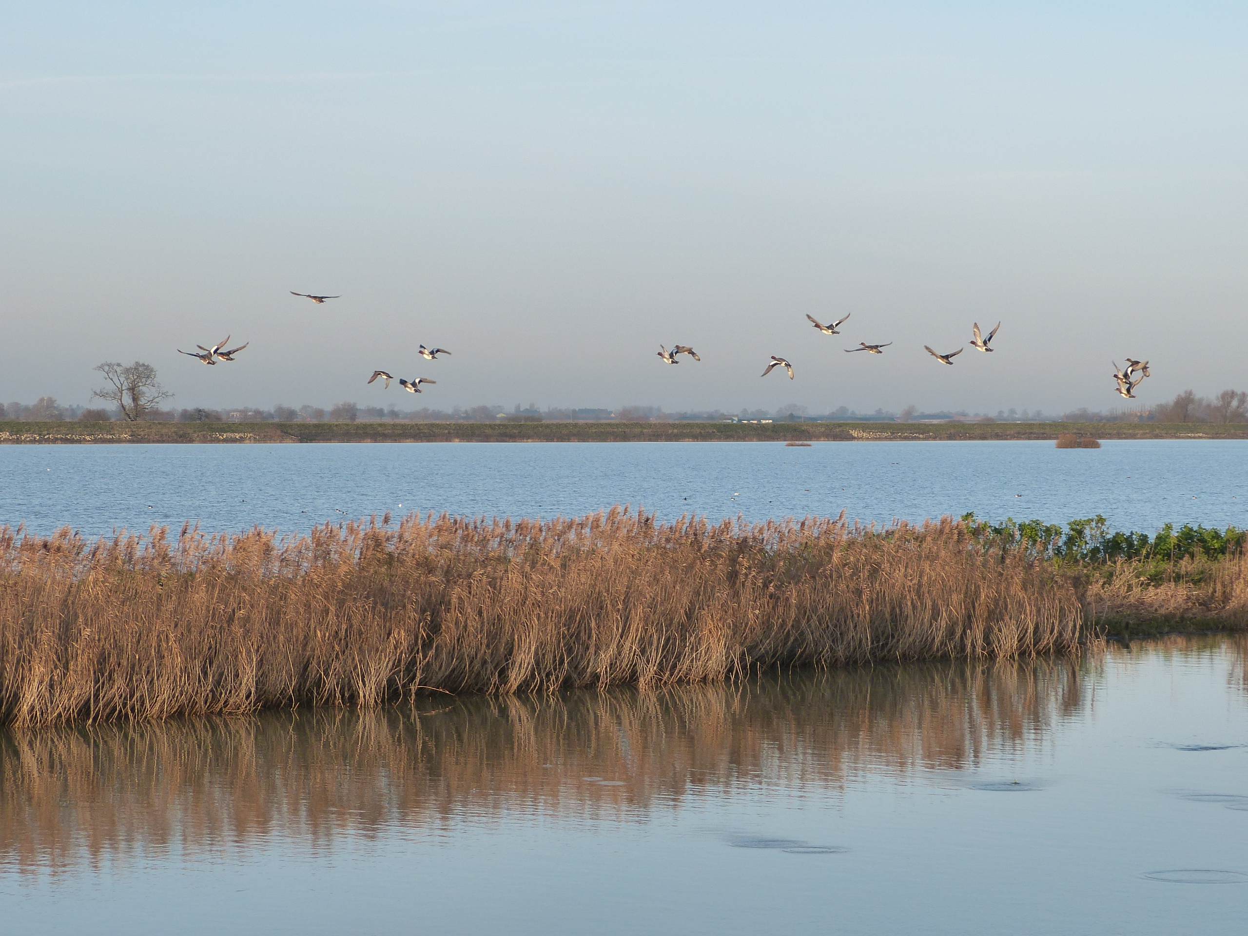

Geodiversity Landscapes: Fen Basin and Fen Edge
Cambridgeshire is known for its fenland landscape, a unique area of extensive low-lying land that has been formed by a complex, dynamic and rich geological history. Clues to this history, can be found by studying the surprisingly diverse deposits that remain, including sands and gravels from the last half a million years (the later part of the Pleistocene ‘Ice Age’), as well as freshwater peat, tidal flat sediments and river alluvium deposited in the last eight thousand years or so (the Holocene) since the last glaciation. It is these Quaternary deposits that give such a distinctive character to much of the north of the county, lying in the extensive Fen Basin and below sea level in some places. The transition from the low lying fens to the surrounding ‘highland’ forms a significantly important historic area, the Fen Edge, with characteristic landscape features of its own. All three of the main rivers have extensive ‘washlands’ on the fen edge that are of high value to nature conservation.


