
The Woodwalton Apron
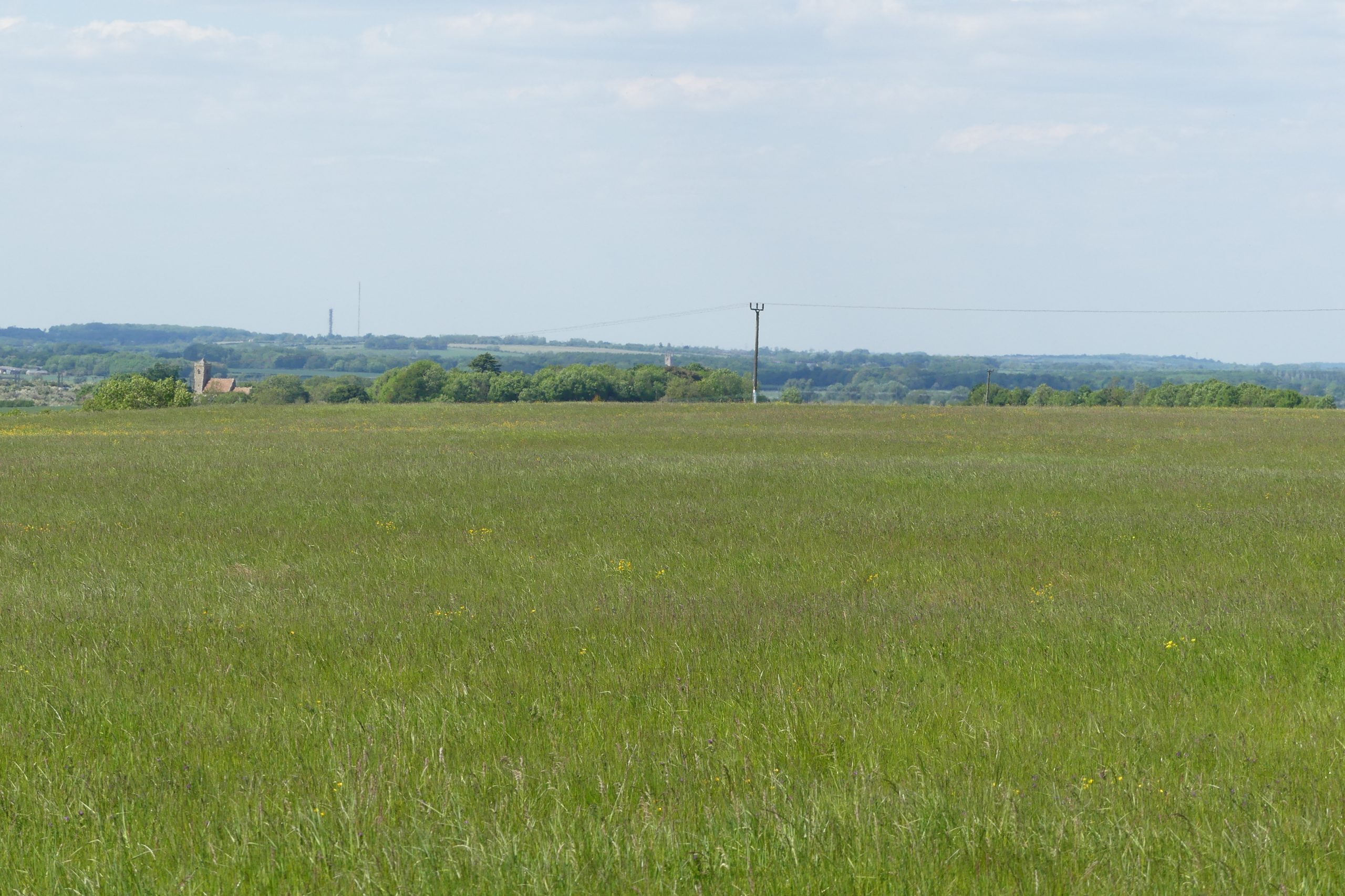
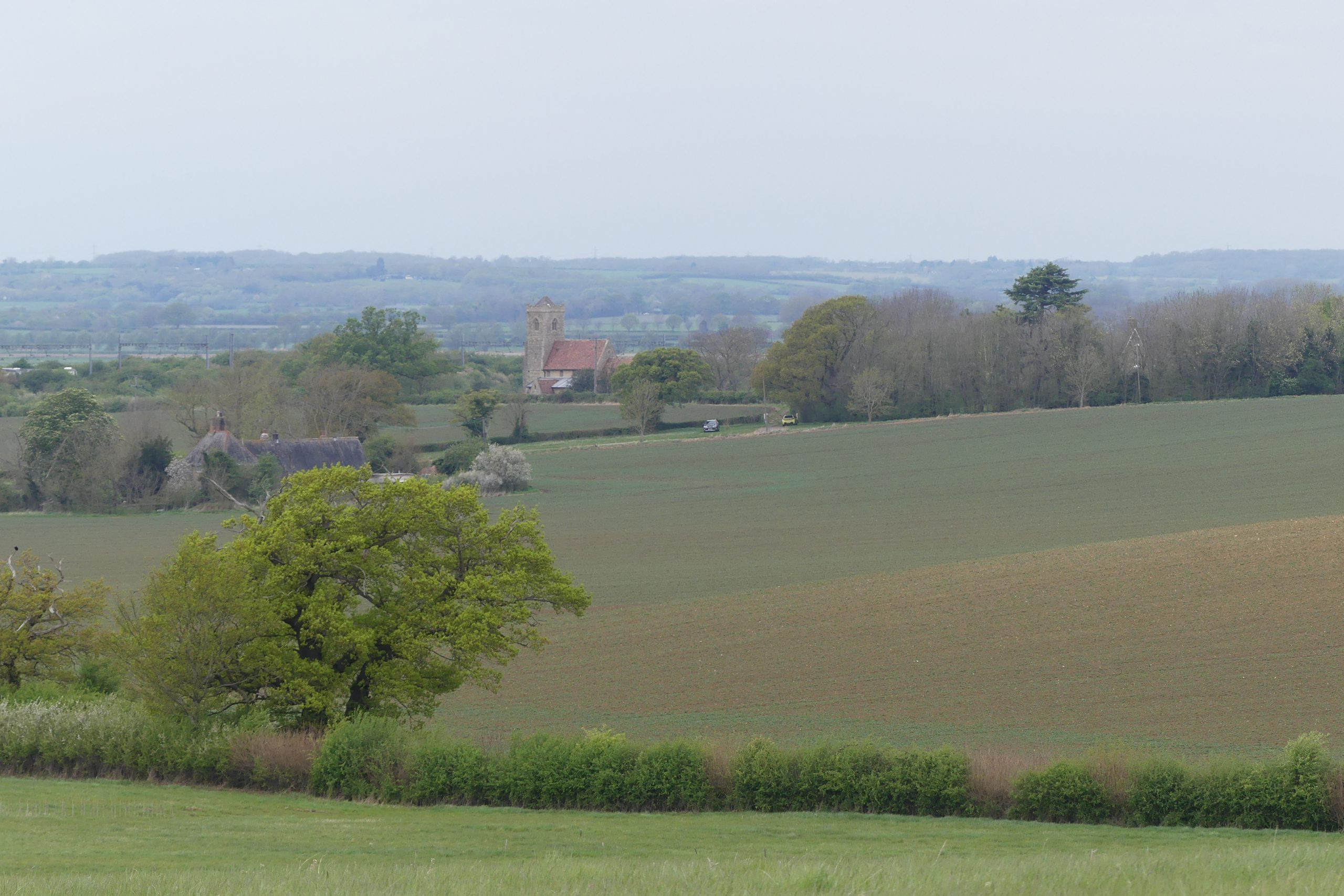
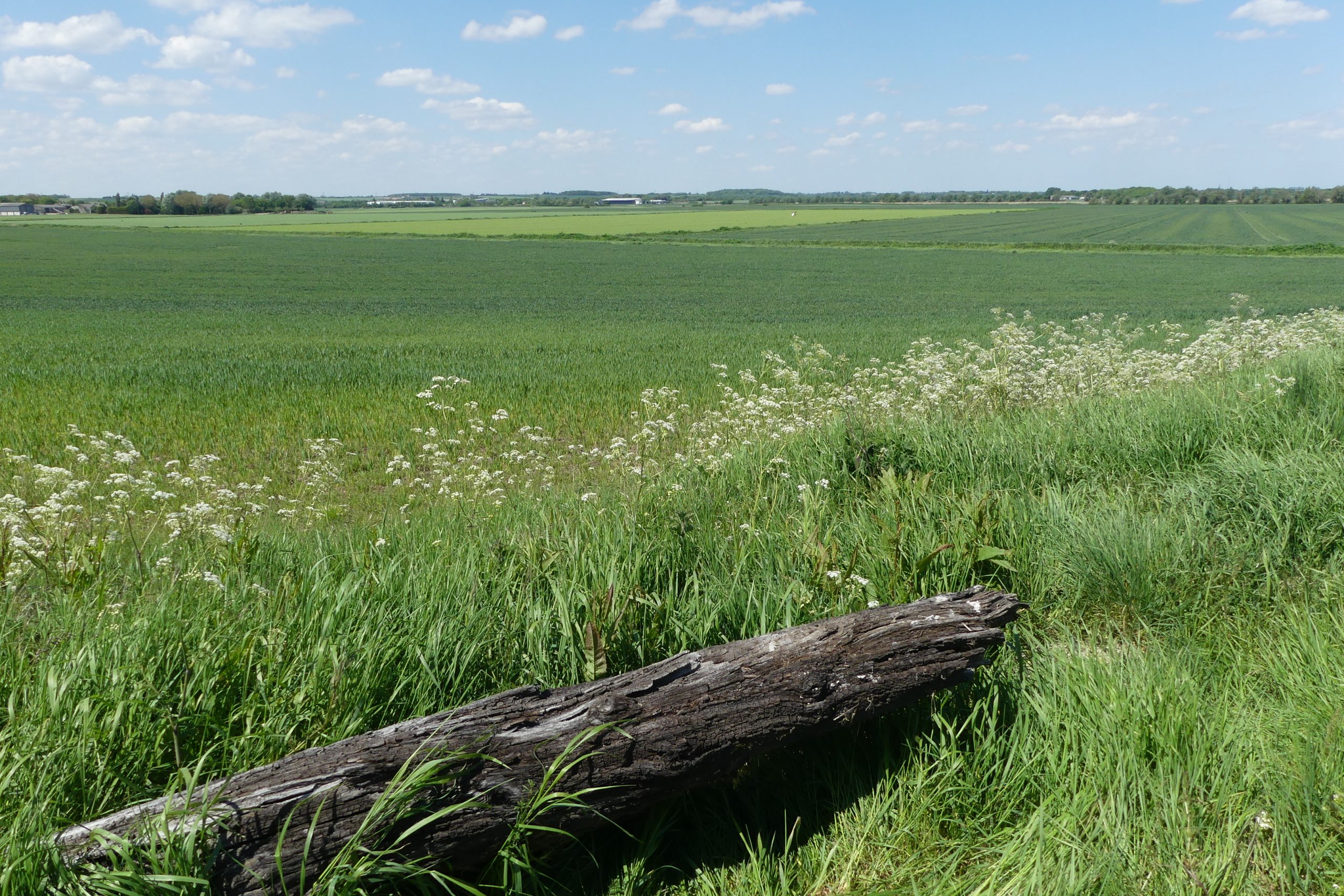
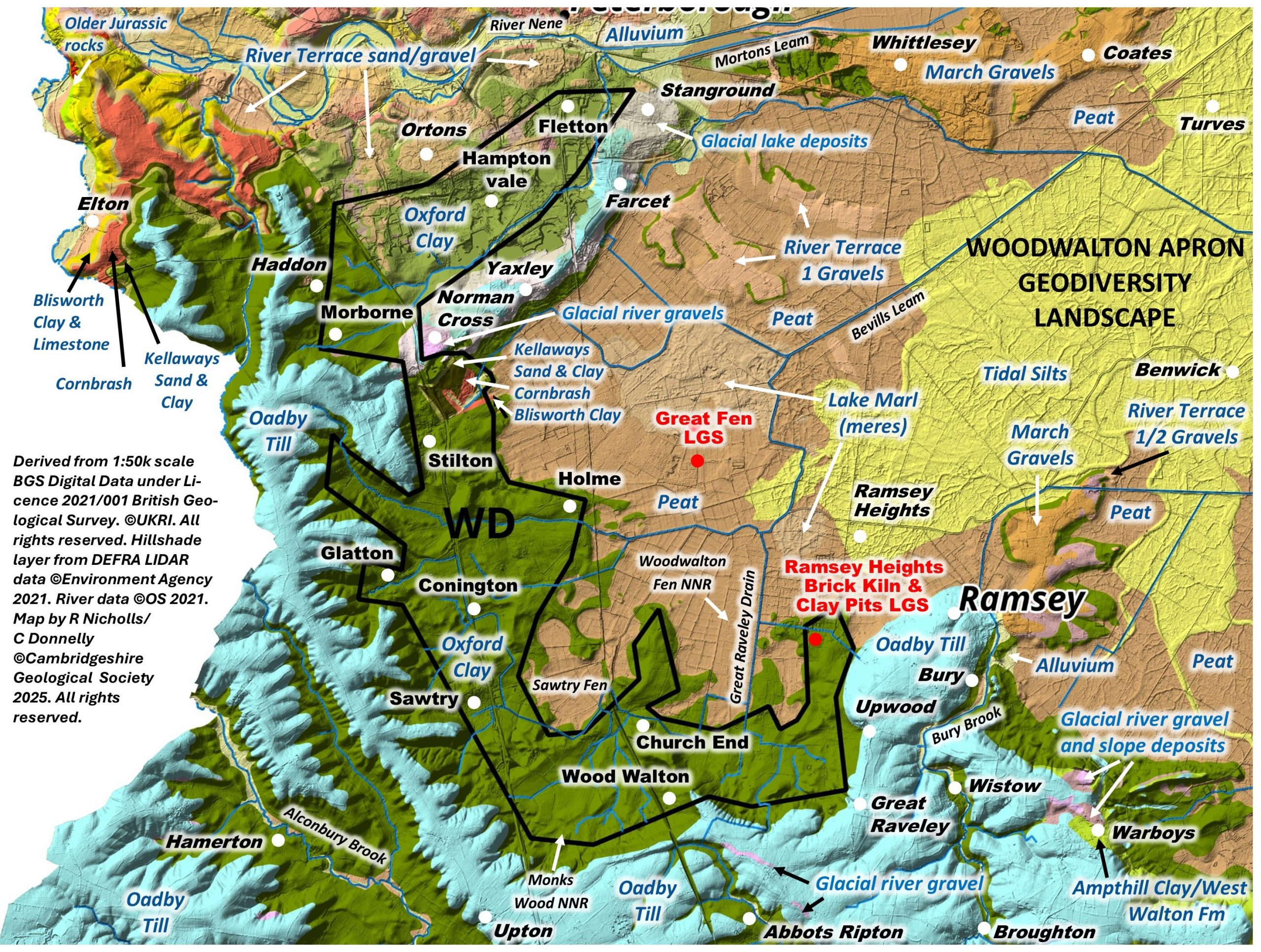
The Woodwalton Apron represents a ‘C’ shaped liminal zone between the fen edge to the east and the Alconbury Weald to the west and south, mostly underlain by Oxford Clay. It has an approximate elevation range of 10 to 30m OD. To the north large clay pits in Hampton Vale have modified the landscape. There is a fascinating bedrock uplifted ‘horst’ south of Norman Cross where Jurassic limestones are brought to the surface. To the south there are two adjacent thermokarst embayments at Sawtry Fen and Woodwalton Fen, with the Midddle Farm ridge between them. At Norman Cross the apron crosses the low till ridge and includes Hampton Vale to the north. Hampton Vale was once a huge area of brick pits, but is now largely built-up, although you can still see the lakes. To the north of Hampton Vale, the apron adjoins the Nene valley. To the east Hampton Vale adjoins the Yaxley ridge ‘fen island’.
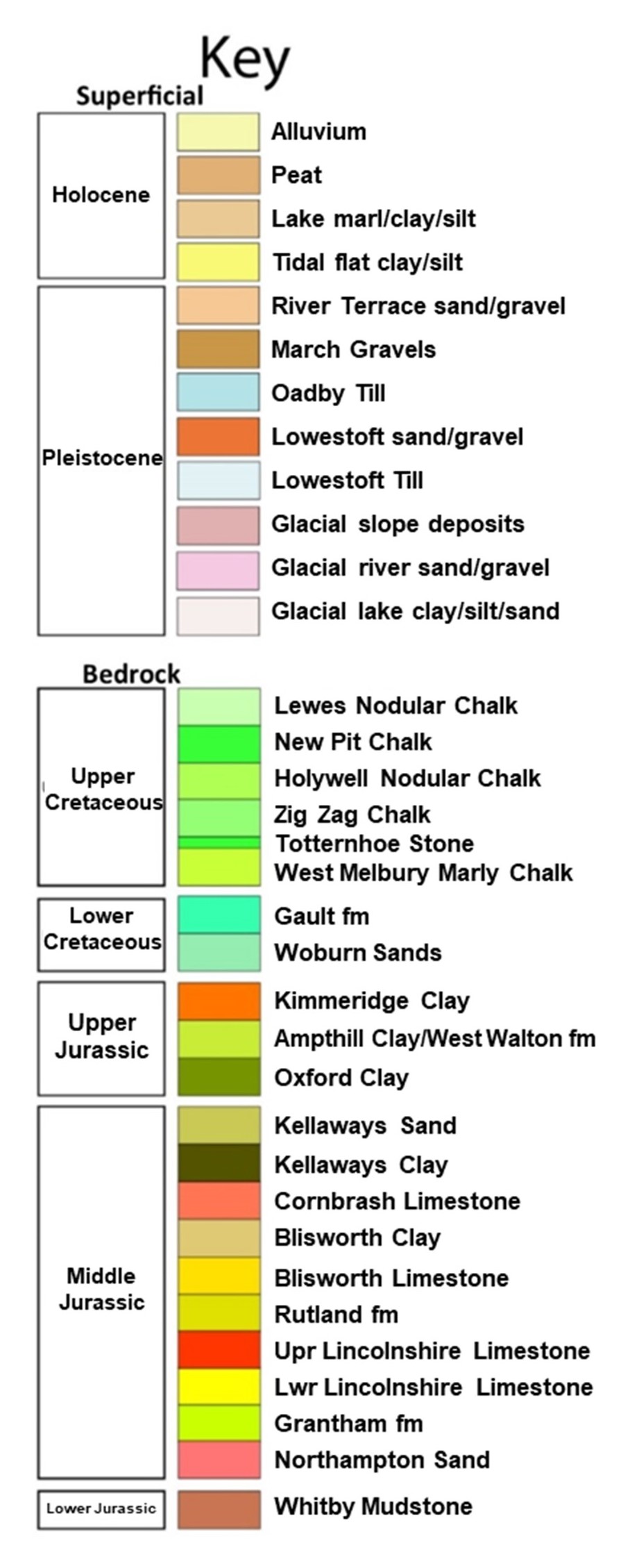
Geology: The bedrock is entirely Oxford Clay, although there is the anomalous, small Horst feature, south of Norman Cross, which brings older Jurassic rocks to the surface (Kellaway Sand, Kellaway Clay, Cornbrash limestone and Blisworth Clay). A small peninsula of Glacial Till extends in to the southern margin and in the north, River Nene Terrace gravels and sands extend into the apron, along with some other small patches of Glacial gravels. A short stretch of Glacial Lake deposits extend across the apron from the Stanground-Yaxley Ridge. The Glacial Till is currently labelled as ‘Oadby Till’ by BGS, although the classification (both in terms of dating and origin) of some of the Pleistocene tills in the region is as yest unresolved, notably the Oadby Till.
Despite the limited variety in the geology, this area is a good example of how the landscape follows the geology. Although the apron is on the fen edge it is also a good area to consider the formation of the adjacent Fenland Basin to the north west as well as the ‘high plateaux’ to the west and south, and the Yaxley- Stanground fen edge ridge. Although not on the large scale known around Peterborough to the north, the local brickmaking industry is representative of many small sites that exploited the Oxford Clay.
Topography and drainage: The apron is dissected by small streams that originate in the higher land to the west and south, although many have been managed to prevent flooding. There could be (mineral) springs arising from the junction of the till and clay.
Soils and ecology: The clay-rich soils are often poorly drained. Waterlogging prevents some areas from developing a succession of vegetation but a series of biodiverse fen edge woods and wetland areas survive. Habitats – wet woodlands, freshwater marsh, small streams, wet meadows.
There are no geological SSSI and two LGS, Ramsey Heights Brick Kiln and Clay Pits, and Orton Brick Works and Brick Pit. Upwood Meadows is a NNR.

