
he Woolley Apron
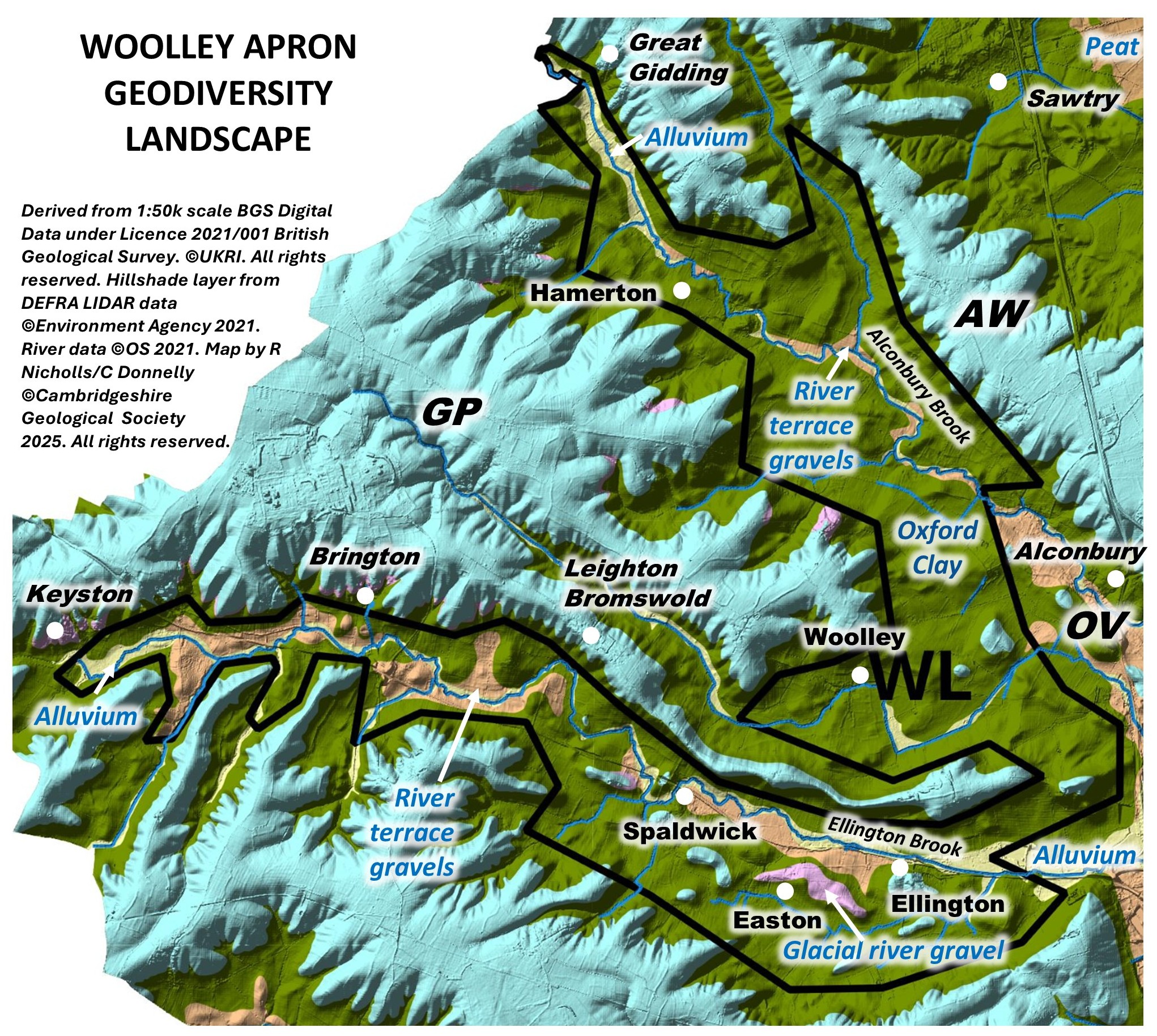
The Woolley Apron is located in the west of the county between the Grafham Plateau GL to the southwest (which it also partly dissects), Alconbury Weald GL to the northeast and the Great Ouse Valley to the east.
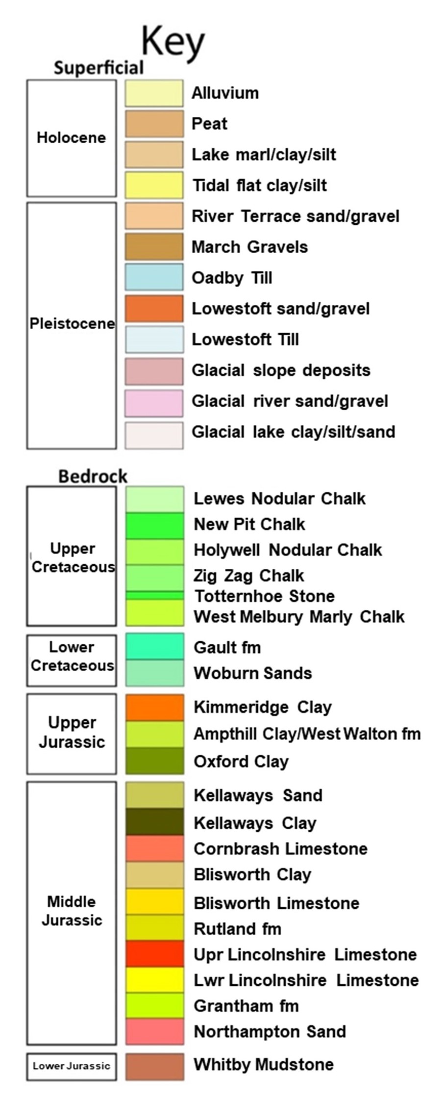
Geology: It is underlain by Jurassic Oxford Clay covered along the water courses by Alluvium and River Terrace Gravels. There are also a couple of patches of Glacio-fluvial gravels.
Topography and drainage: Drained by minor tributaries of the River Great Ouse including the Alconbury Brook and the Ellington Brook. The elevation is typically in the range 20 – 50m OD.
Soils and ecology: The clay-rich soils are often poorly drained but those of the River gravels are more free-draining.
More information on the Geodiversity Landscapes will be added soon.


