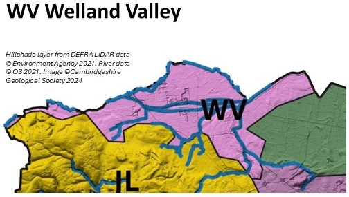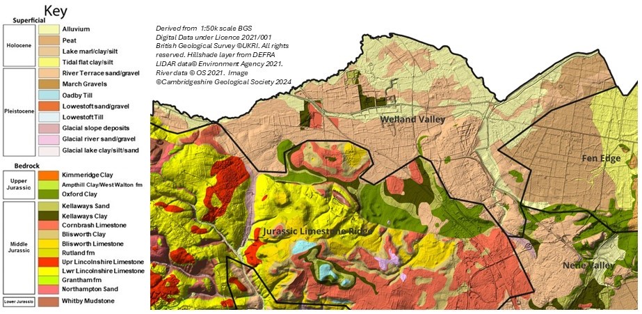

The Welland Valley
The Welland Valley is aligned west-east between Stamford & Maxey. To the west it is underlain by Jurassic mudstones and limestones including the Lower Lincolnshire Limestone and Cornbrash. To the east where it adjoins the Fen Edge it is underlain by Kellaways Clay. It comprises the Alluvium, Peat and River Terrace Deposits of the River Welland and its tributaries.
It is located north the Jurassic Limestone Ridge. The elevation ranges from 5 to 30m OD. There are poorly drained soils on Alluvium, Peat and bedrock clay, & well-drained soils on Terrace Gravels and limestone.
There are no geological SSSI and one LGS, Maxey Quarry).

