Protecting the landscape heritage of the fens

Protecting the landscape heritage of the fens

Protecting the landscape heritage of the fens

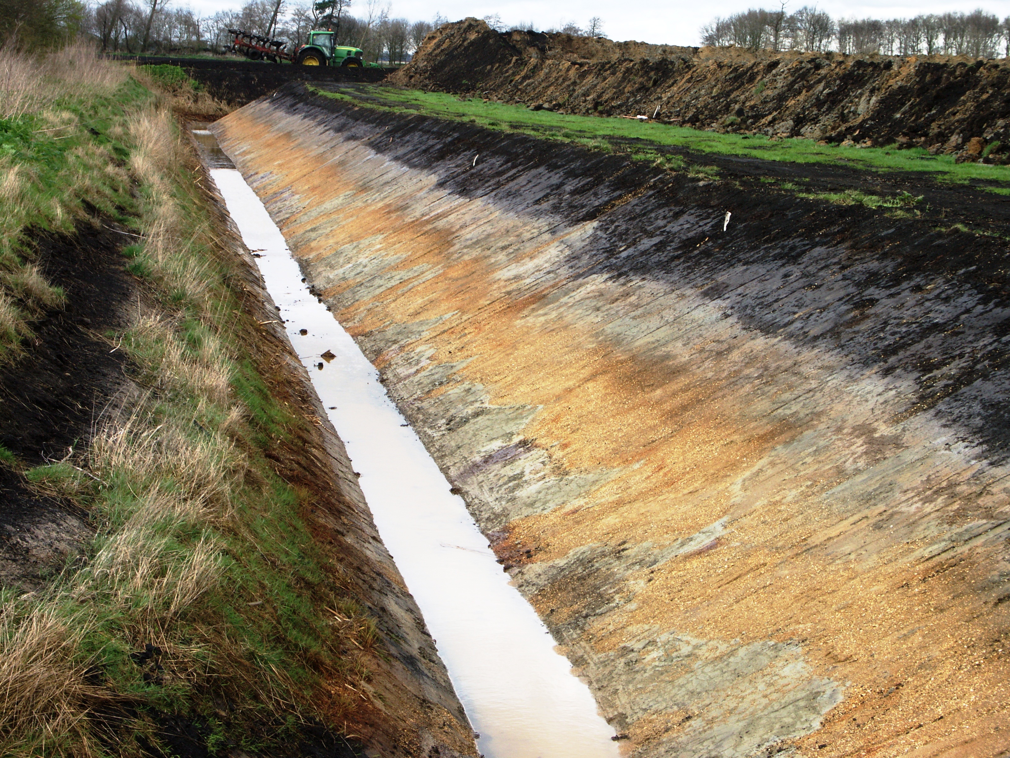
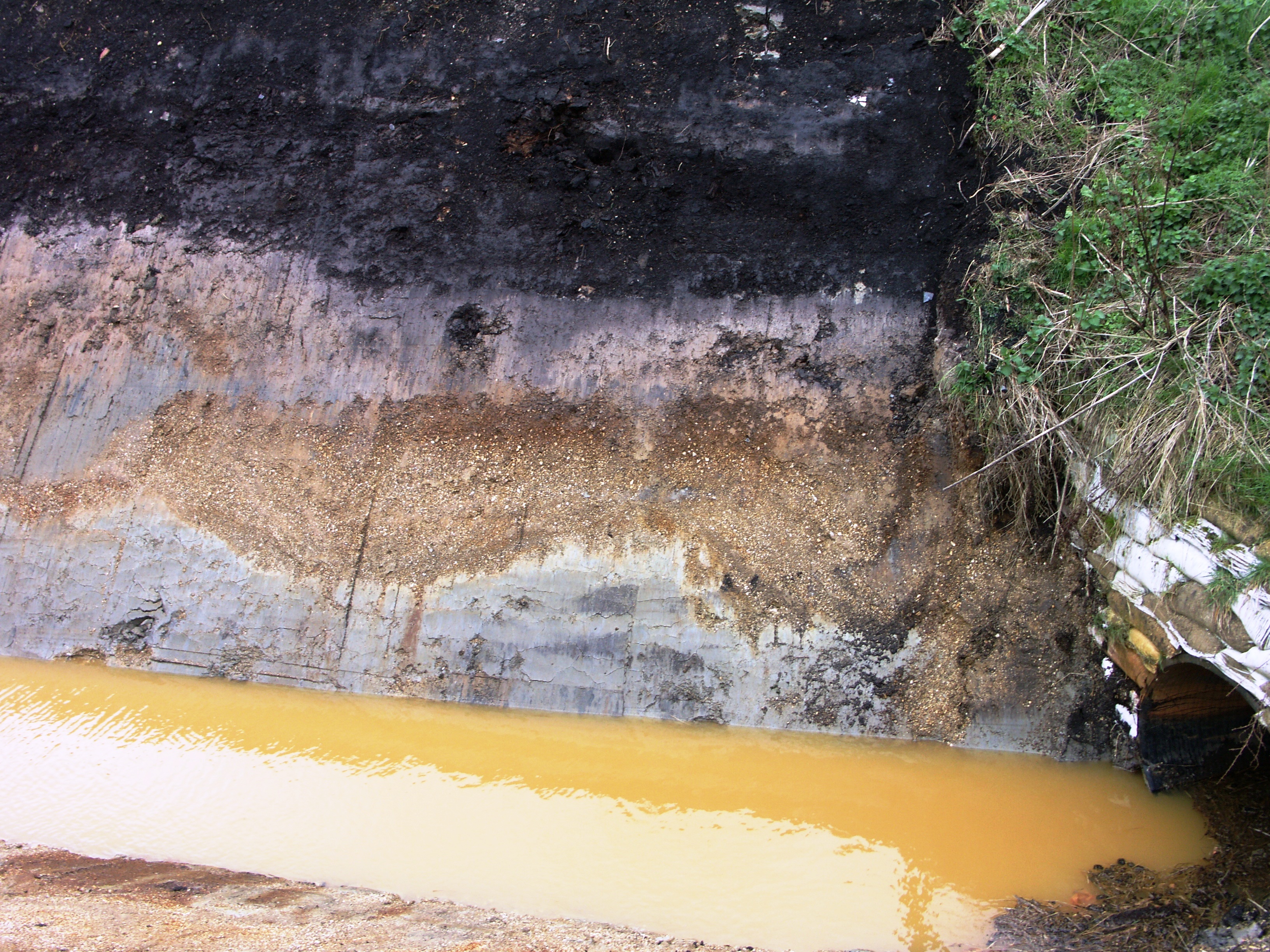
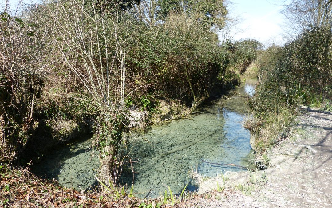
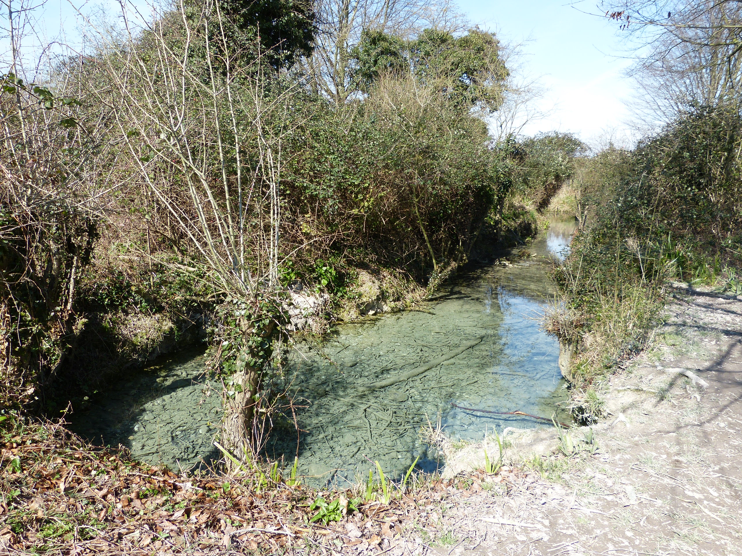
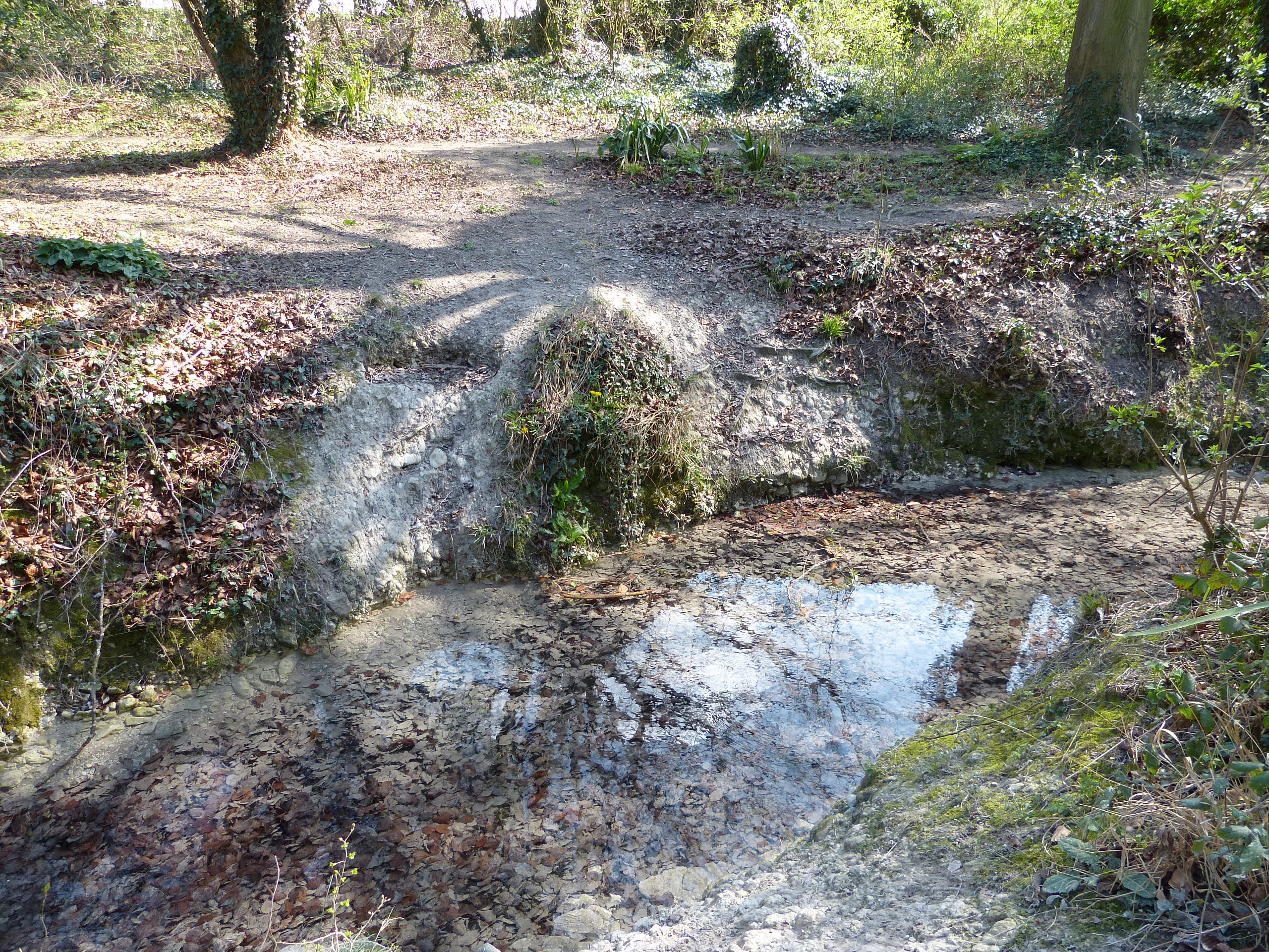
The fenland has always been a land of mystery. This is particularly true when trying to unravel the complex history of dynamic changes in the landscape, which are directly linked to both sea level and climate. Thanks to an increase in research in recent years, much has now been discovered that is finally providing a picture of life in the fens since the end of the last ice age.

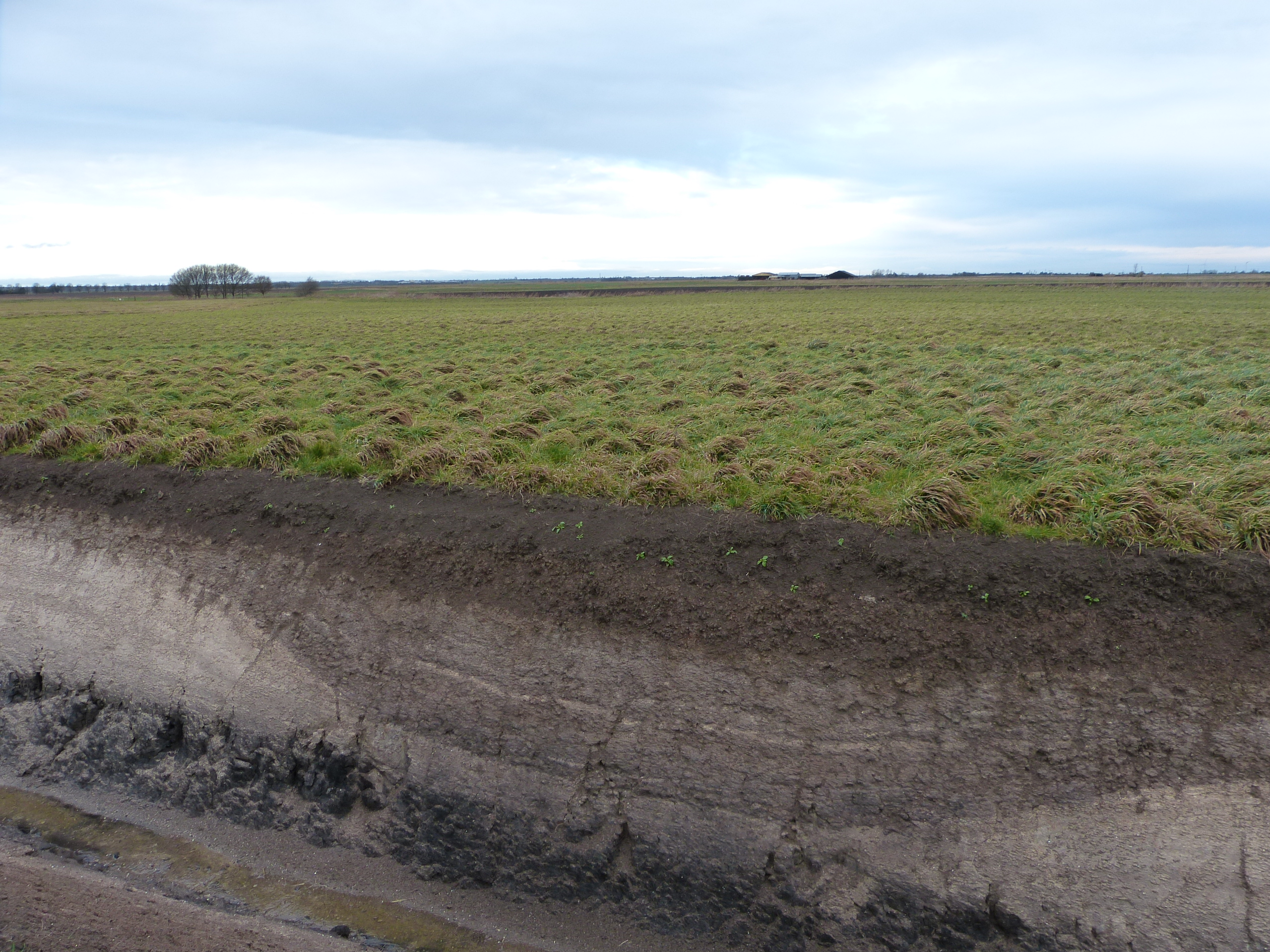
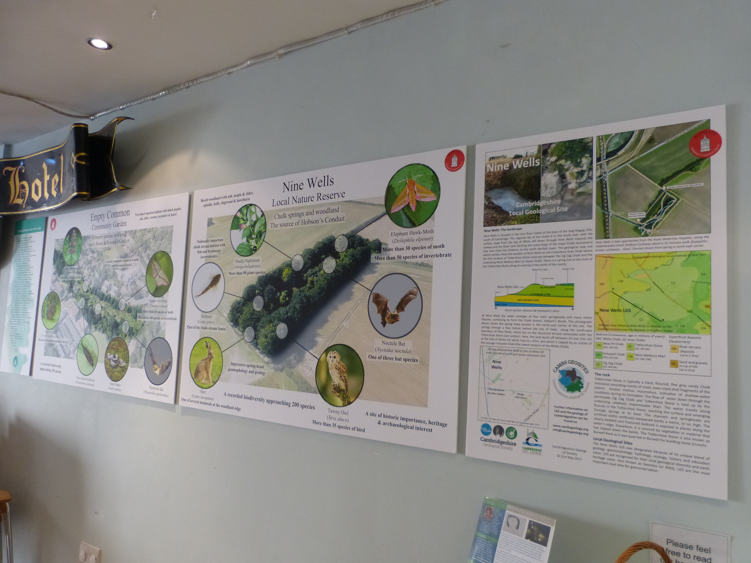
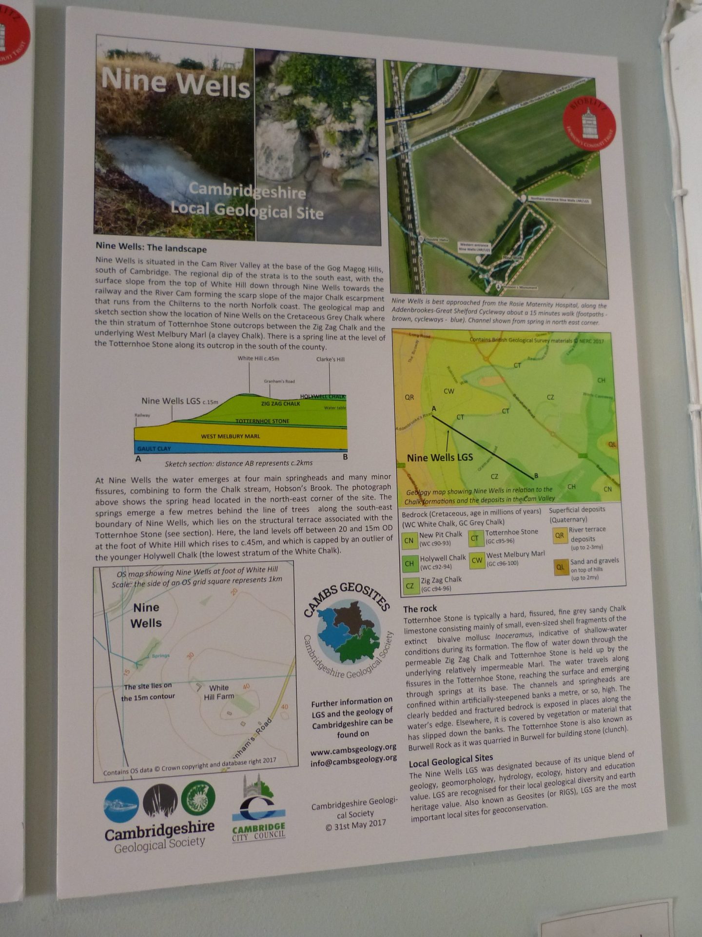
Although a few important sites are protected in law (as SSSIs), CGS is now looking at others that can be developed to help people explore and understand the geology of the fenland and its associated cultural history. Nature reserves such as those of The Great Fen, the Ouse Washes and at Wicken Fen, have information available about the local landscape but we are now investigating the possibility of designating an area as a Local Geological Site. This would highlight the importance of the geology locally, regionally and nationally.

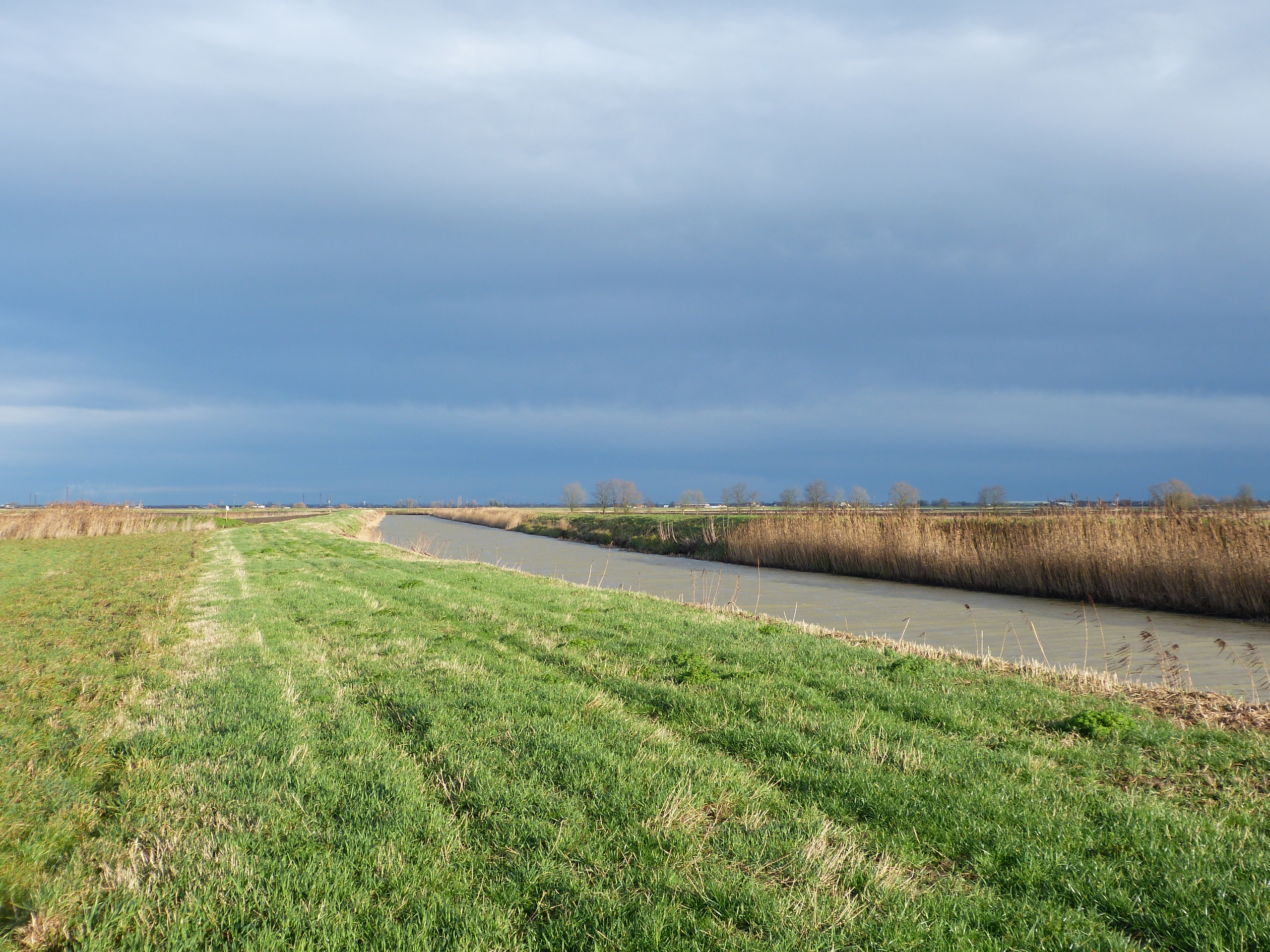
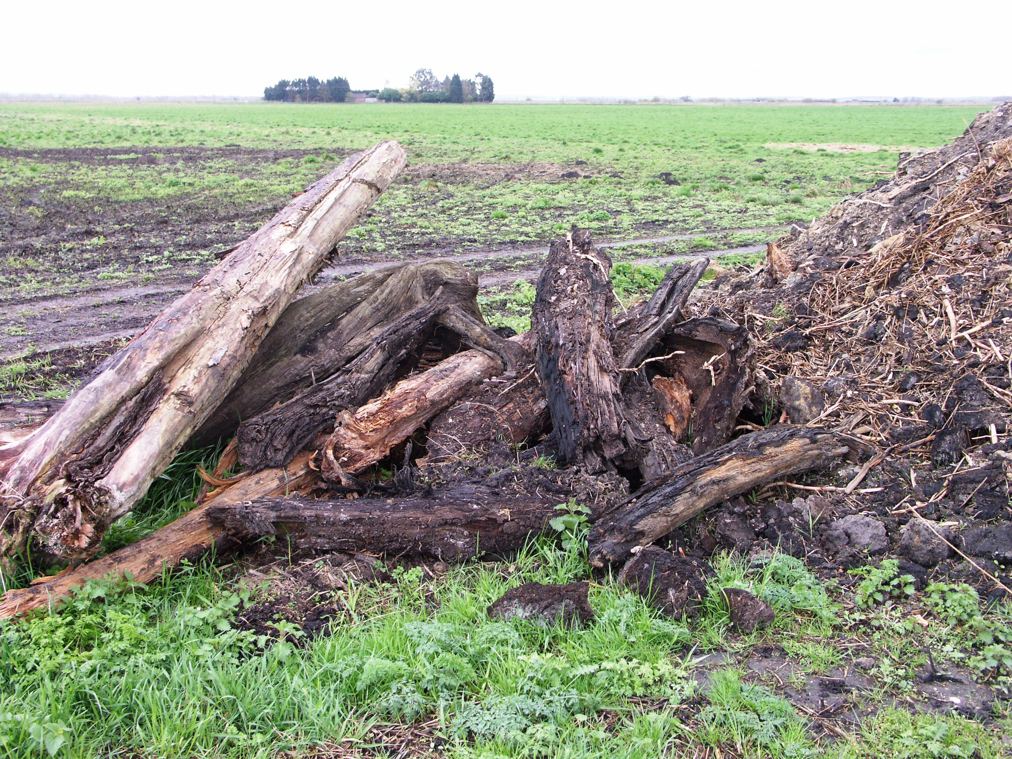
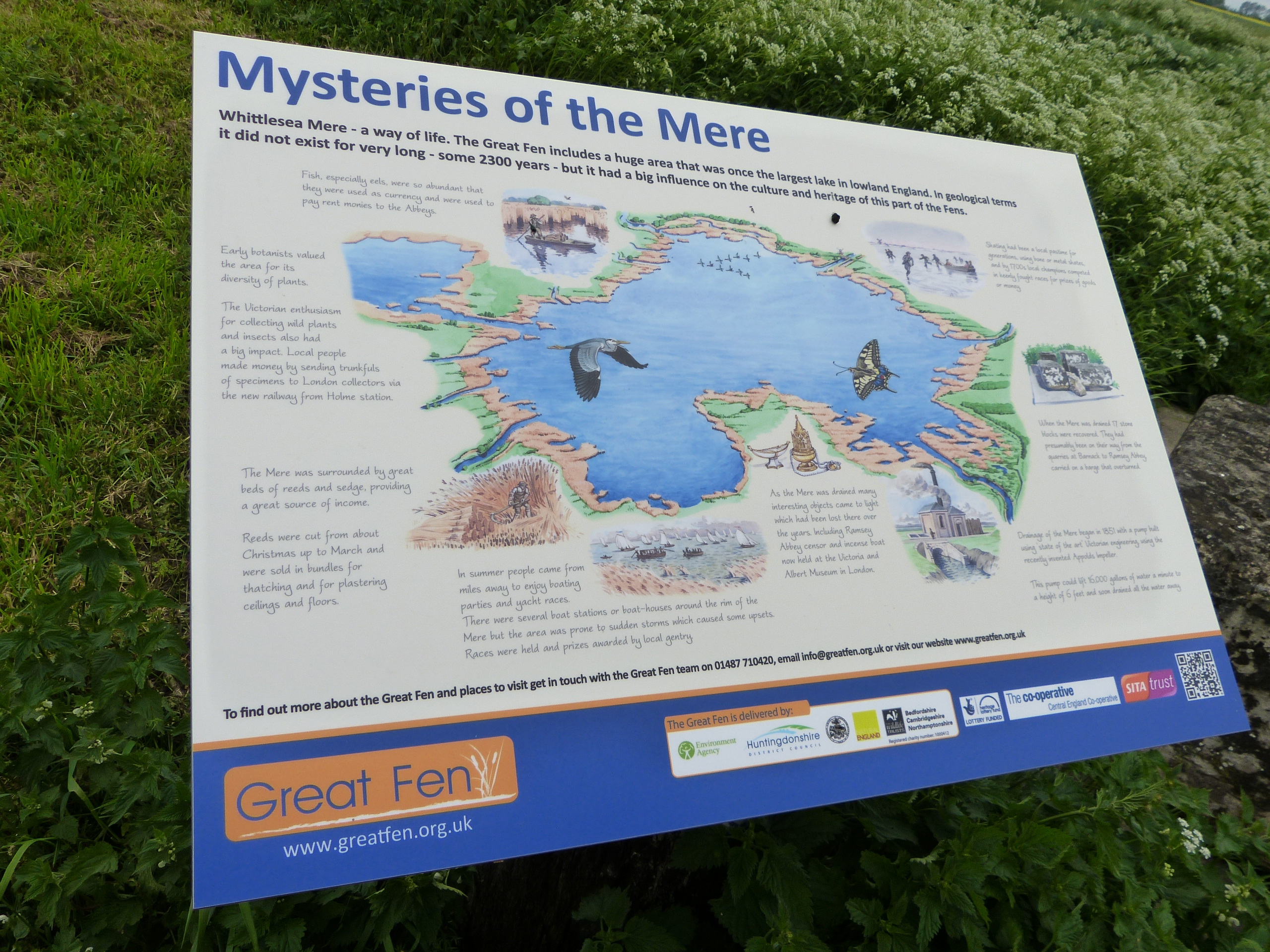
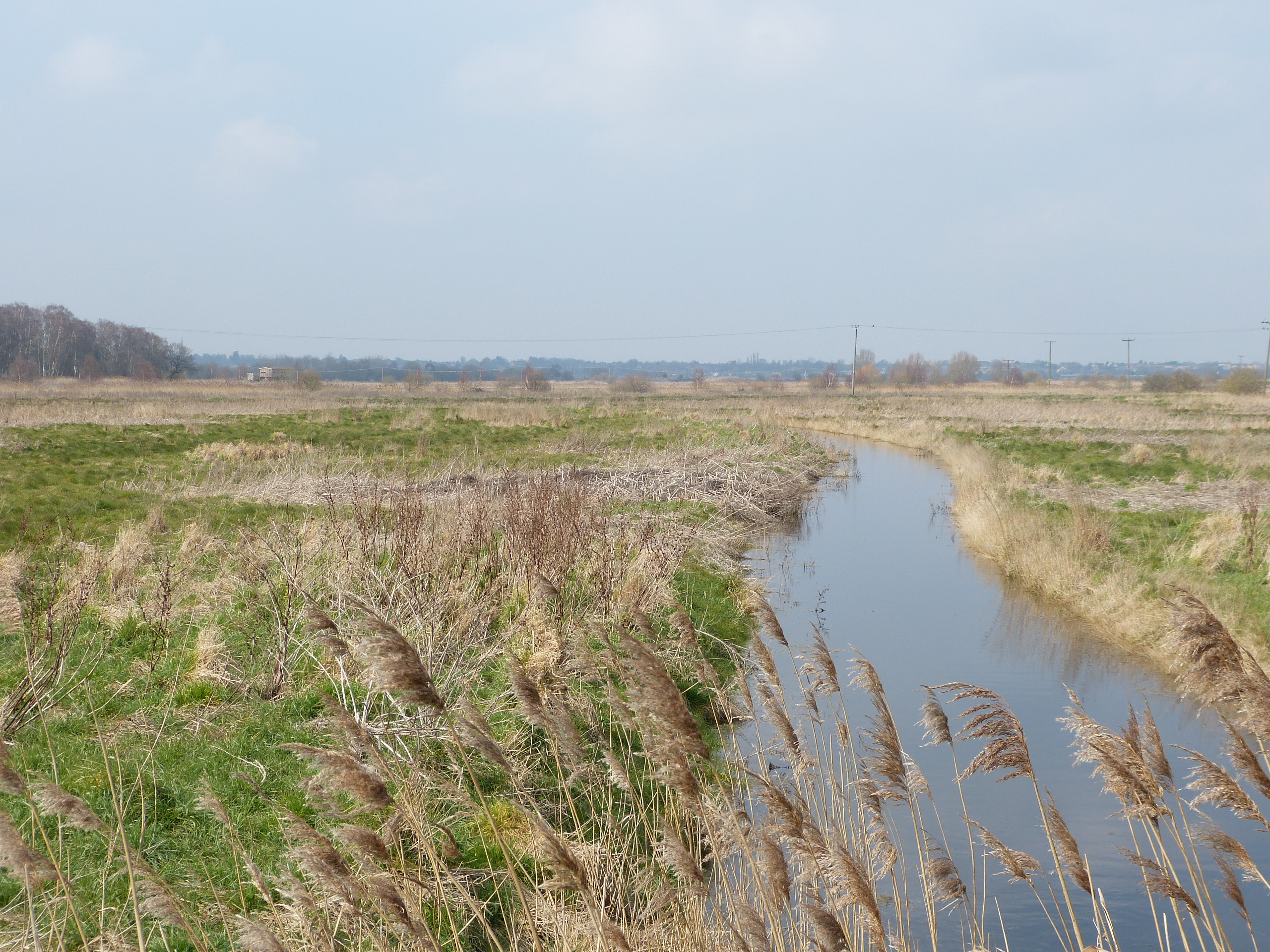
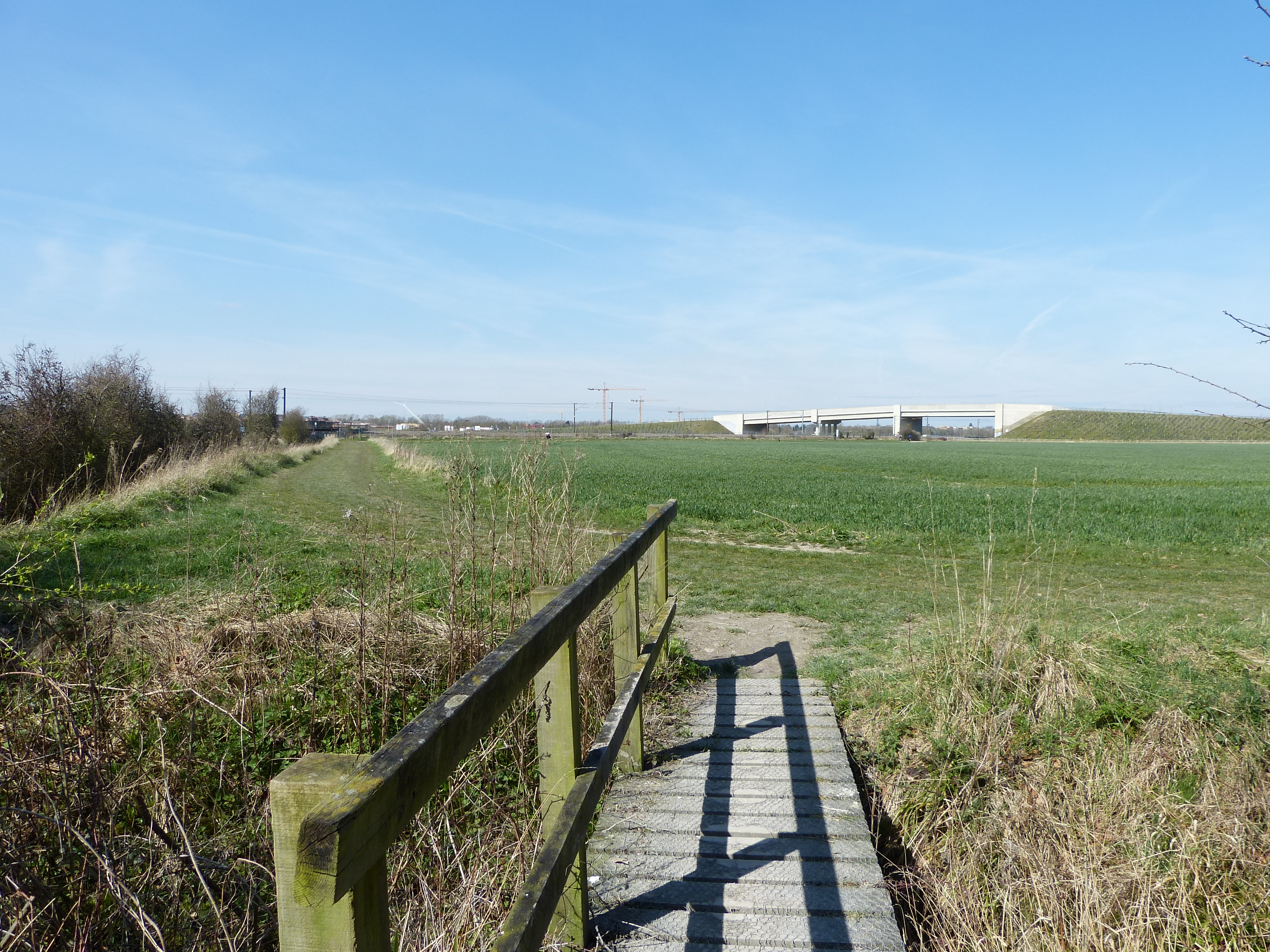
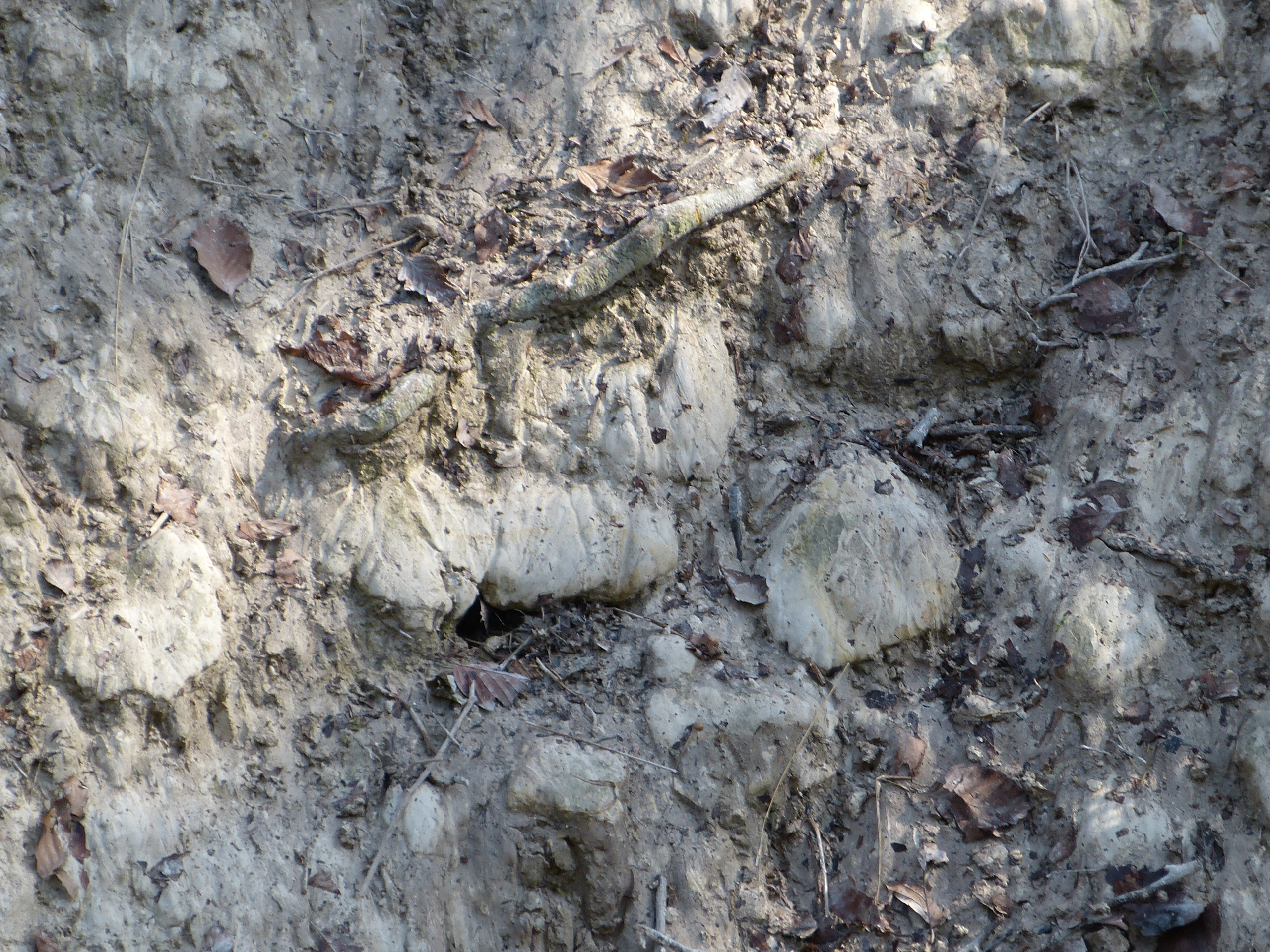
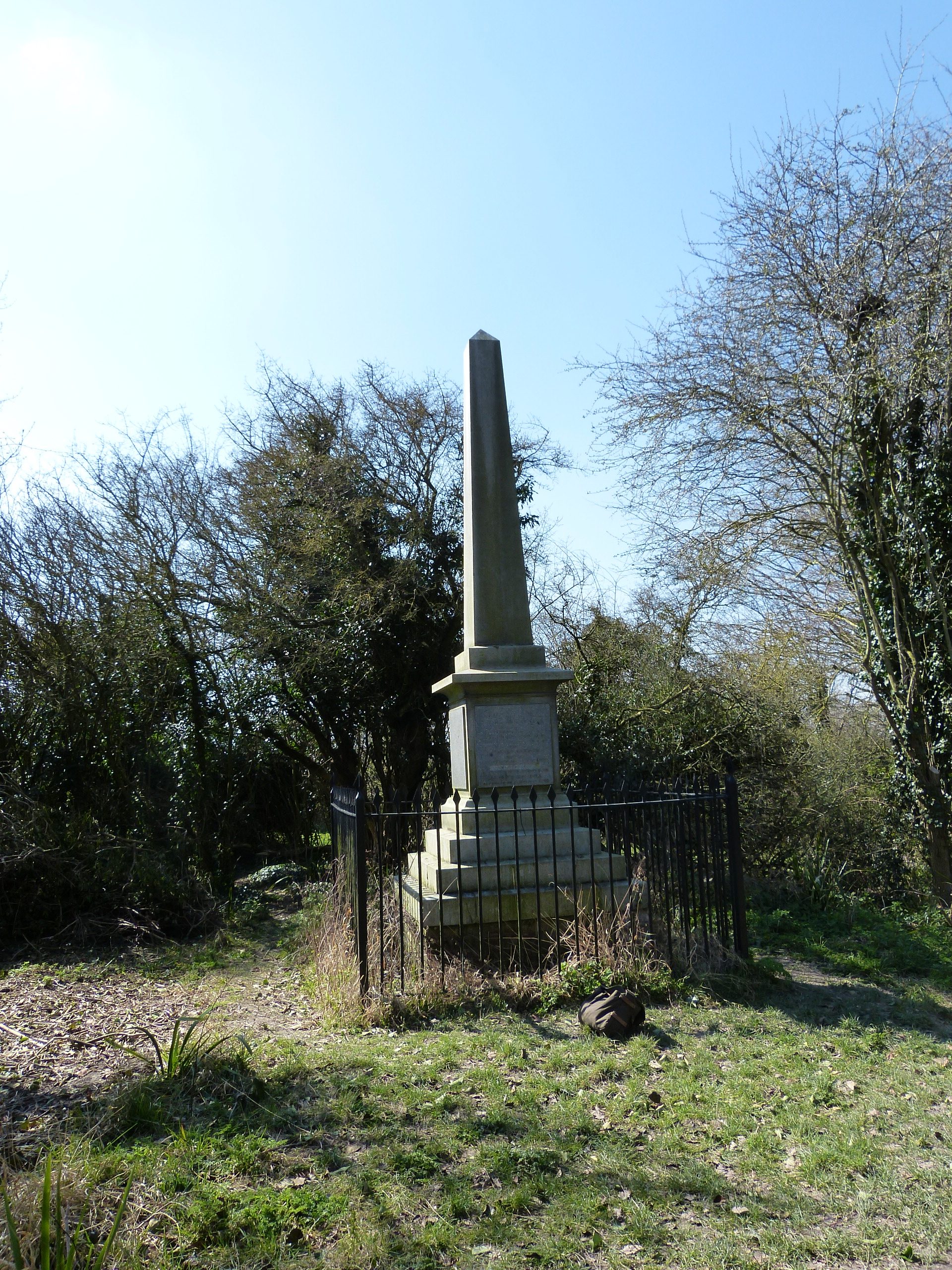
The area being considered is that of the northern part of the Great Fen, which includes peat fen, remnants of raised bog, lake marl, silt fen and roddons. The land here also has links with local history and culture (Whittlesey Mere, ancient waterways such as the old River Nene, and limestone ‘blocks’ being transported from quarries at Barnack). It is also of high landscape value, containing the site of the Holme Fen Post and having geological links to the nearby ridge at Yaxley. The potential educational value, through the Great Fen, and its partners, is considerable. More news on this soon.

Lime kilns at Isleham

Lime kilns at Isleham

Lime kilns at Isleham

Built around 1860, these listed buildings are the remains of a thriving clunch quarrying industry in this Fen Edge village. Three of the kilns are preserved, with the fire hearths visible inside. The clunch rubble was loaded in through the circular openings at the top after being carted up the ramp. Fires were fuelled with coal and burned continuously. Quicklime was raked out at the bottom as the final product. Work stopped around 1935. These are now listed buildings. The site of the kilns is now a Local Geological Site.

The interiors may still house bats, so please approach and view the kilns (from the outside) with consideration.

See our Fen Edge page for more information on the local geology and its economic use, produced as part of our Geosites work on the seven Landscapes in the county of Cambridgeshire.

Isleham is the finishing point of our Fen Edge Trail which links the village to others on the edge of the Cambridgeshire Fens, from Peterborough, via Ramsey, St Ives and Cambridge to here on the border with Suffolk.

Location (Open Street Map)

View of kiln entrances

Circular loading opening with access ramp

The economic geology of Burwell

The economic geology of Burwell

The economic geology of Burwell

Download our leaflet on the Aspects of Geological Interest in Burwell.

Burwell is a “Fen Edge” village which lies to the North East of Cambridge. It has a long history, some of which was dependent on the geology of the underlying rock. It has evidence of some form of settlement since the Palaeolithic Age, through the Bronze Age  and the Roman occupation, to the present day. The village and surrounding lands have been a source of important materials for Cambridgeshire, from the famous “Burwell Rock”, a chalk stone used for many  buildings, and bricks made from the Gault Clay to cement and phosphates. See our Fen Edge page for more information on the local geology and its economic use, produced as part of our Geosites work on the seven Landscapes in the county of Cambridgeshire.

Burwell is one of many interesting areas that can be visited as part of our Fen Edge Trail which links the village to several others on the south east of the Fens.

Nine Wells LGS display at the Cambridge Museum

Nine Wells LGS display at the Cambridge Museum

Nine Wells LGS display at the Cambridge Museum

A display about the Nine Wells Local Geological Site has been featured as part of an exhibition at the Cambridge Museum on the importance of Hobson’s Conduit.The exhibition runs from 26th September to 22nd October 2017 and can be seen in the tea rom at the museum (free entry to the tea room, admission fee charged for the museum).

For more information see the Cambridge Museum website.

The museum is on the corner of Castle Street and Northampton Street, just 5 minutes walk from the City centre. Address is: 2/3 Castle Street, Cambridge, CB3 0AQ

Nine Wells designated as Local Geological Site

Nine Wells designated as Local Geological Site

Nine Wells designated as Local Geological Site

Nine Wells Local Nature Reserve is now (February 2017) a Local Geological Site. This designation highlights its geological value for scientific, educational, historical and/or aesthetic reasons. As well as being the source of Hobson’s Conduit, the chalk springs at Nine Wells are a good example of those in the south of the county that occur along the springline at the level of the Totternhoe Stone (locally known as the Burwell Rock).

Nine Wells is found south of the Addenbrookes Biomedical Campus on the southern side of the city of Cambridge. It only covers 1.2 hectares but is quite unique for a number of reasons due to its landscape, geology, history, fauna and flora. The landscape here is marked by a change of slope between the chalkland to the south and the flat (chalk marl and clay) land to the north. The rocks here are the source of spring waters that rise from fissures in a hard band of Totternhoe Stone, known locally as the Burwell Rock. This famous layer in the chalk lies at the base of the Zig Zag Chalk, and overlies the West Melbury Chalk Marl.

For more information see the Nine Wells page.